Photos from XXX
A trip to XXX in XXX
These photos were taken on a climb of Kilimanjaro (Tanzania) in December of 2013. By the way, click HERE to read an extensive write-up about climbing Kilimanjaro.
 Welcome to Machame Gate. Read the warning signs.
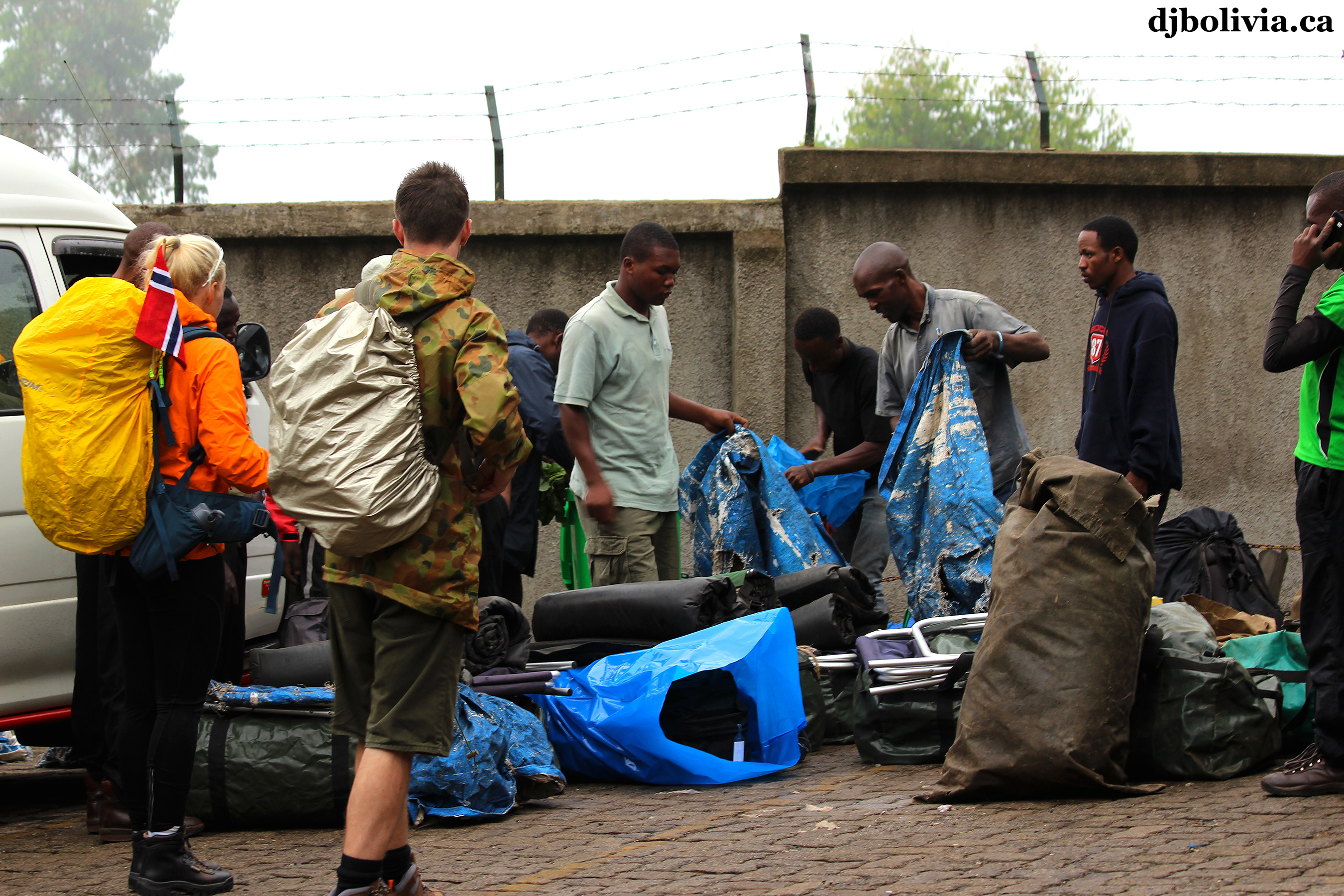 Some of the porters and my group, getting gear ready to start the trek.
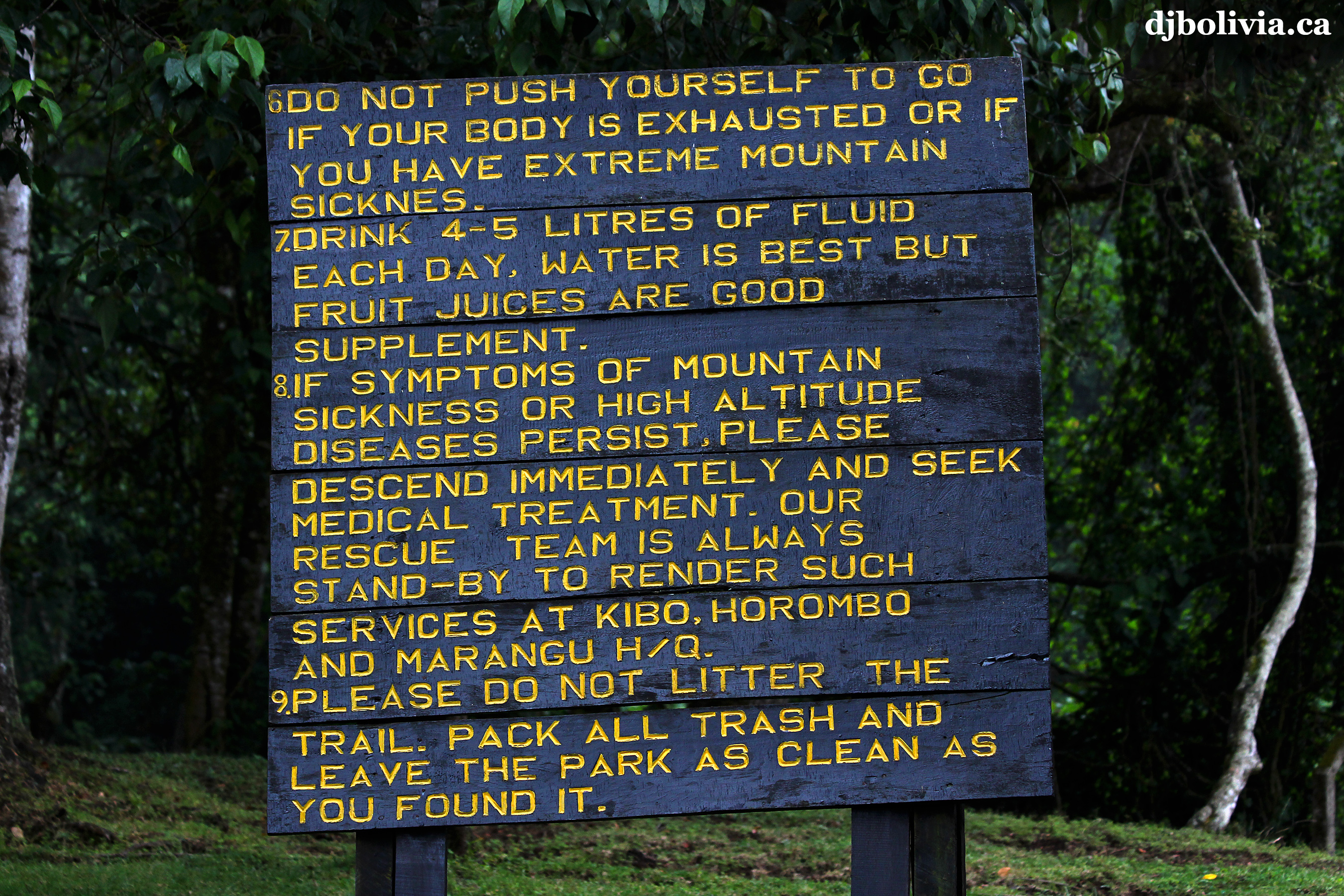 More warnings.
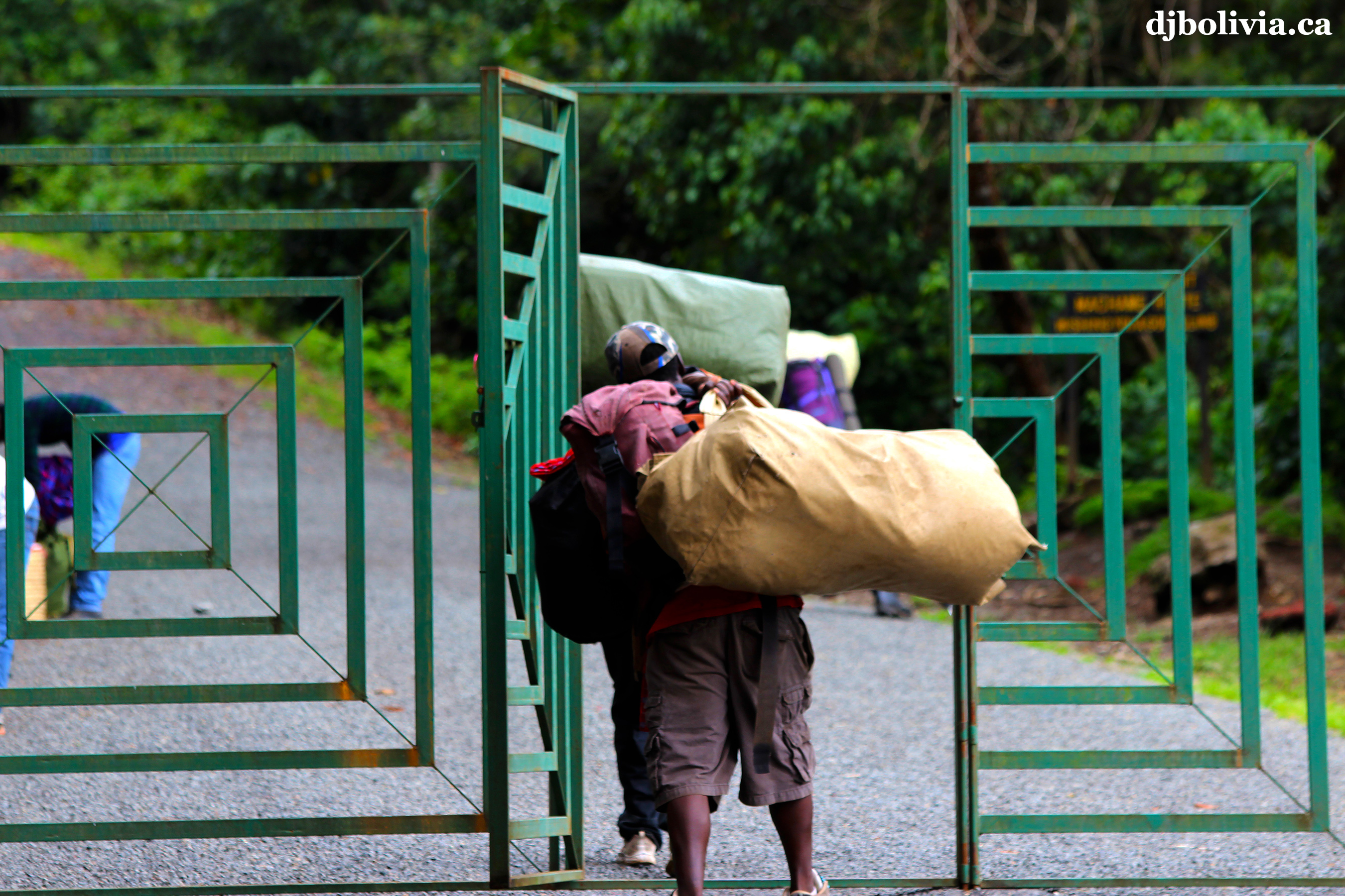 "Abandon all hope, ye who enter here." The Machame Gate is at 1490m altitude AMSL (above mean sea level).
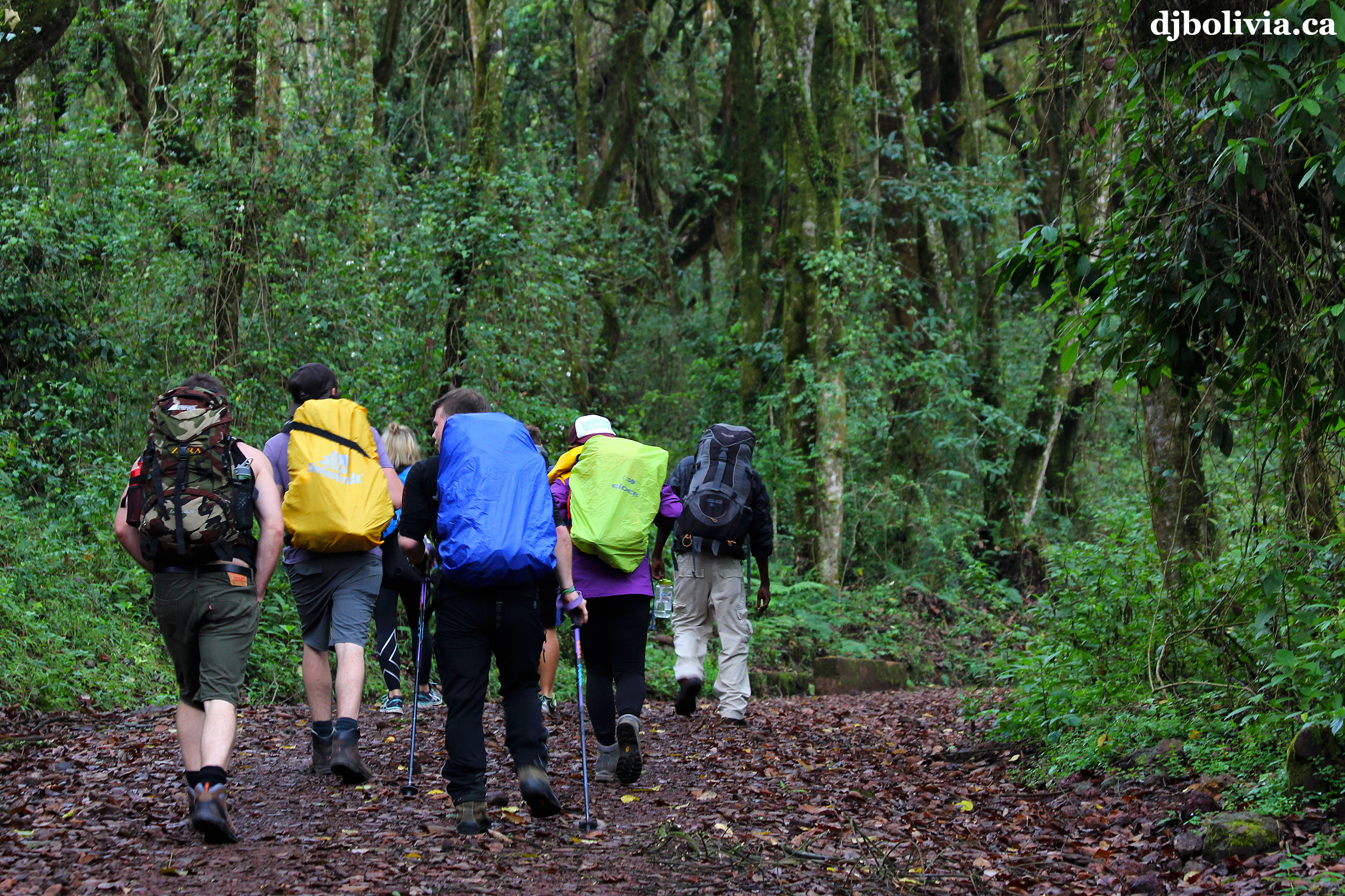 The first part of trail looks pretty easy.
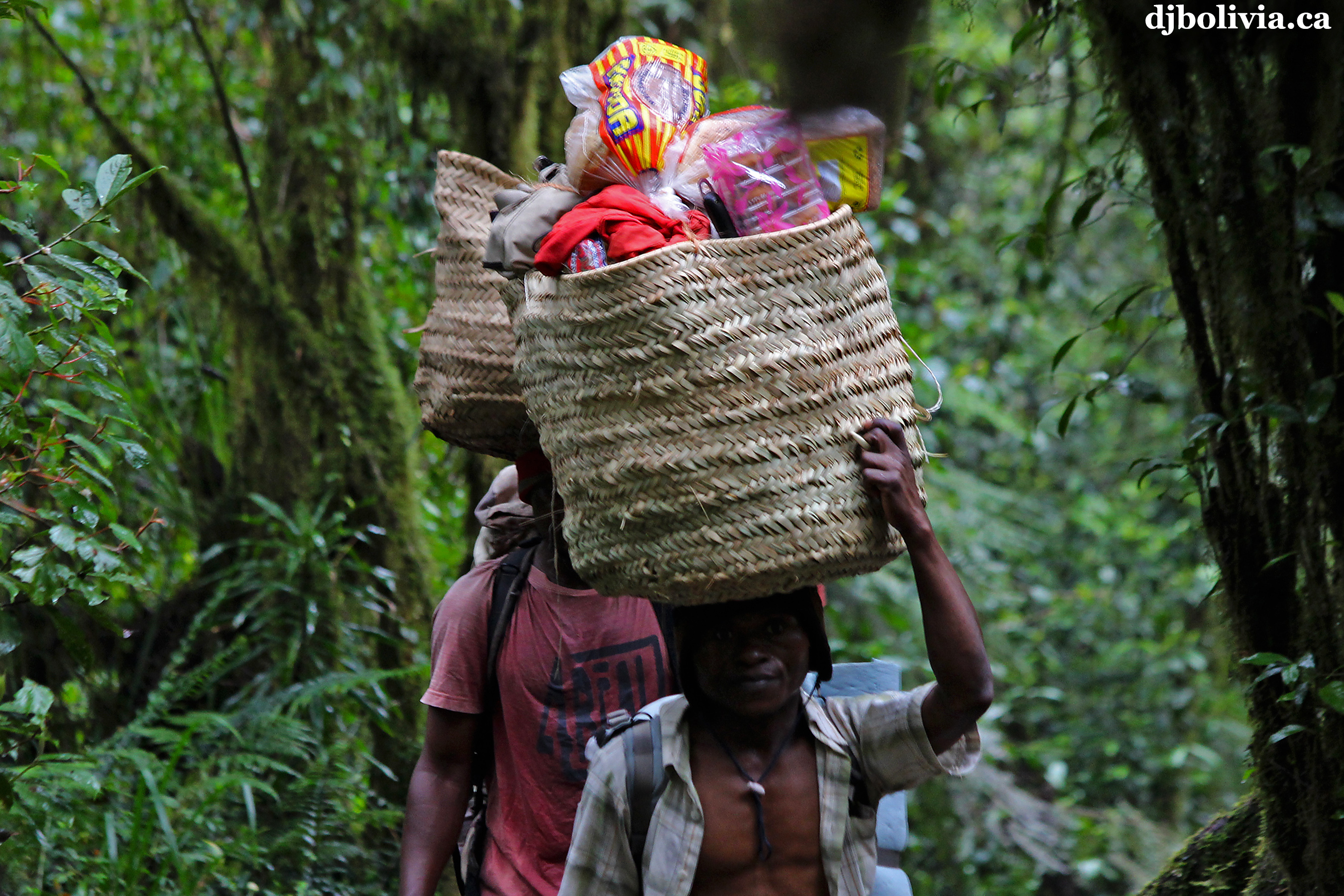 Our porters were simply amazing. They carried a lot of weight, probably 60-80 pounds each. Some of it was in backpacks, and some of it was in baskets or duffel bags balanced on their heads.
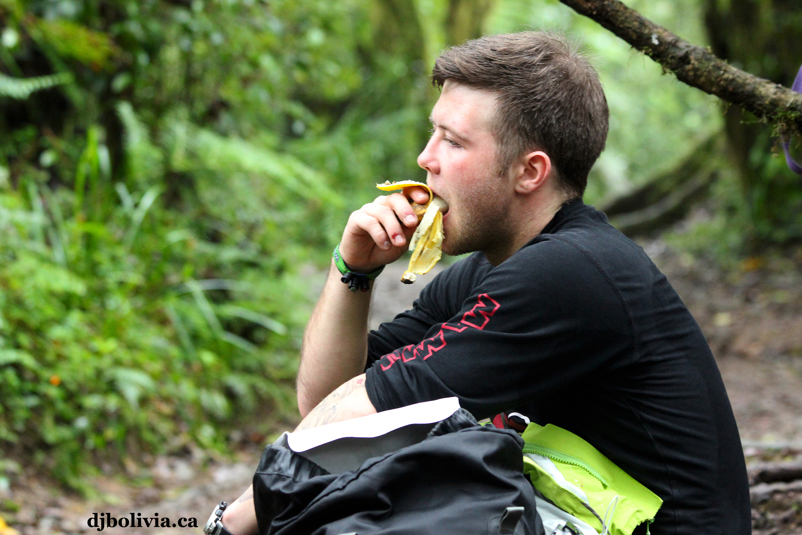 Curdin, one of the members of my group from Switzerland.
 Only an hour or so into the climb, and we could already see that the porters have an incredibly tough job.
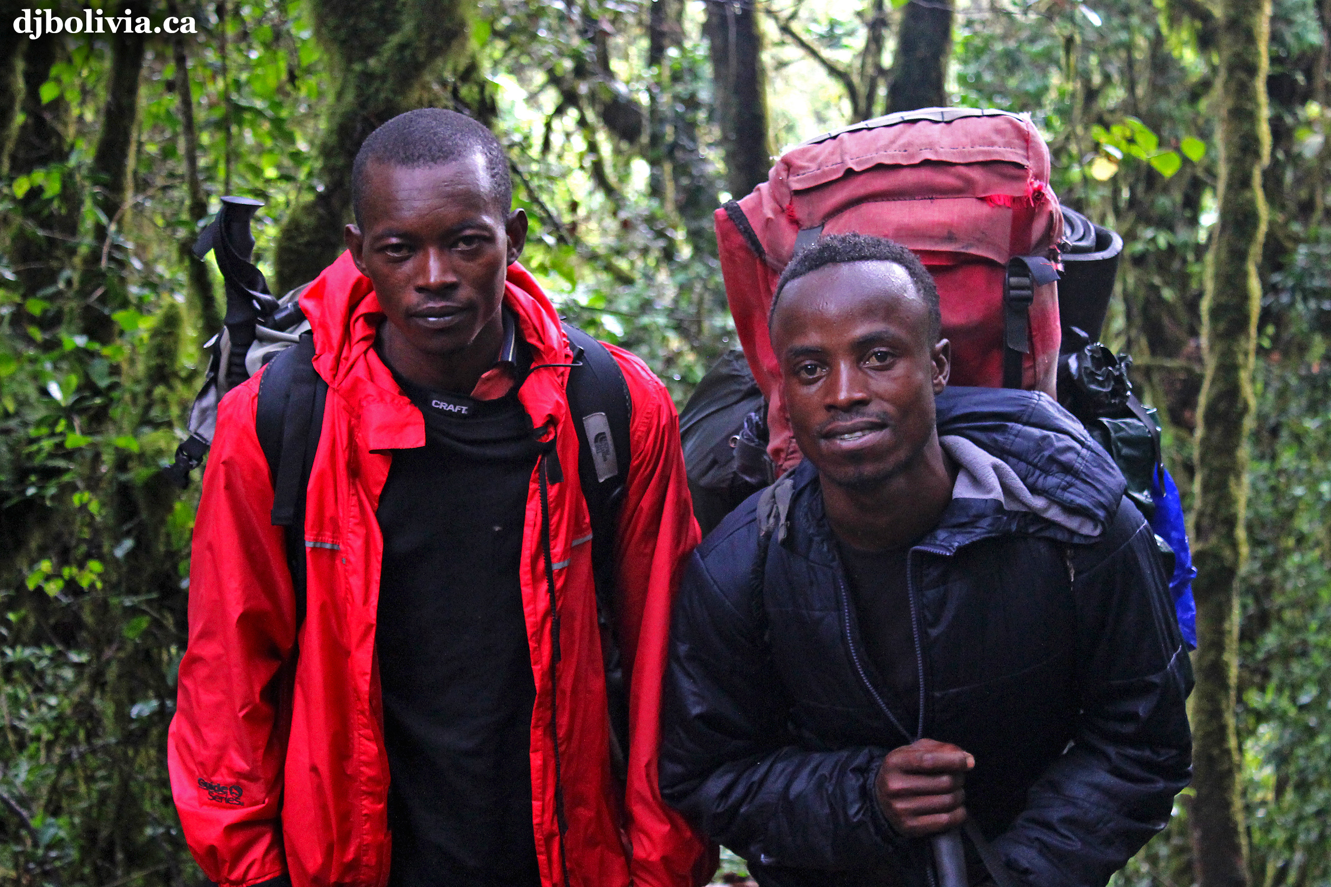 Anton, in the red coat on the left, was one of our assistant guides. He was awesome, and very eager to help. When we got back down to the gate at the end of the trek, he said, "Do you want to go back up? I will take you right now." I didn't know the name of his friend.
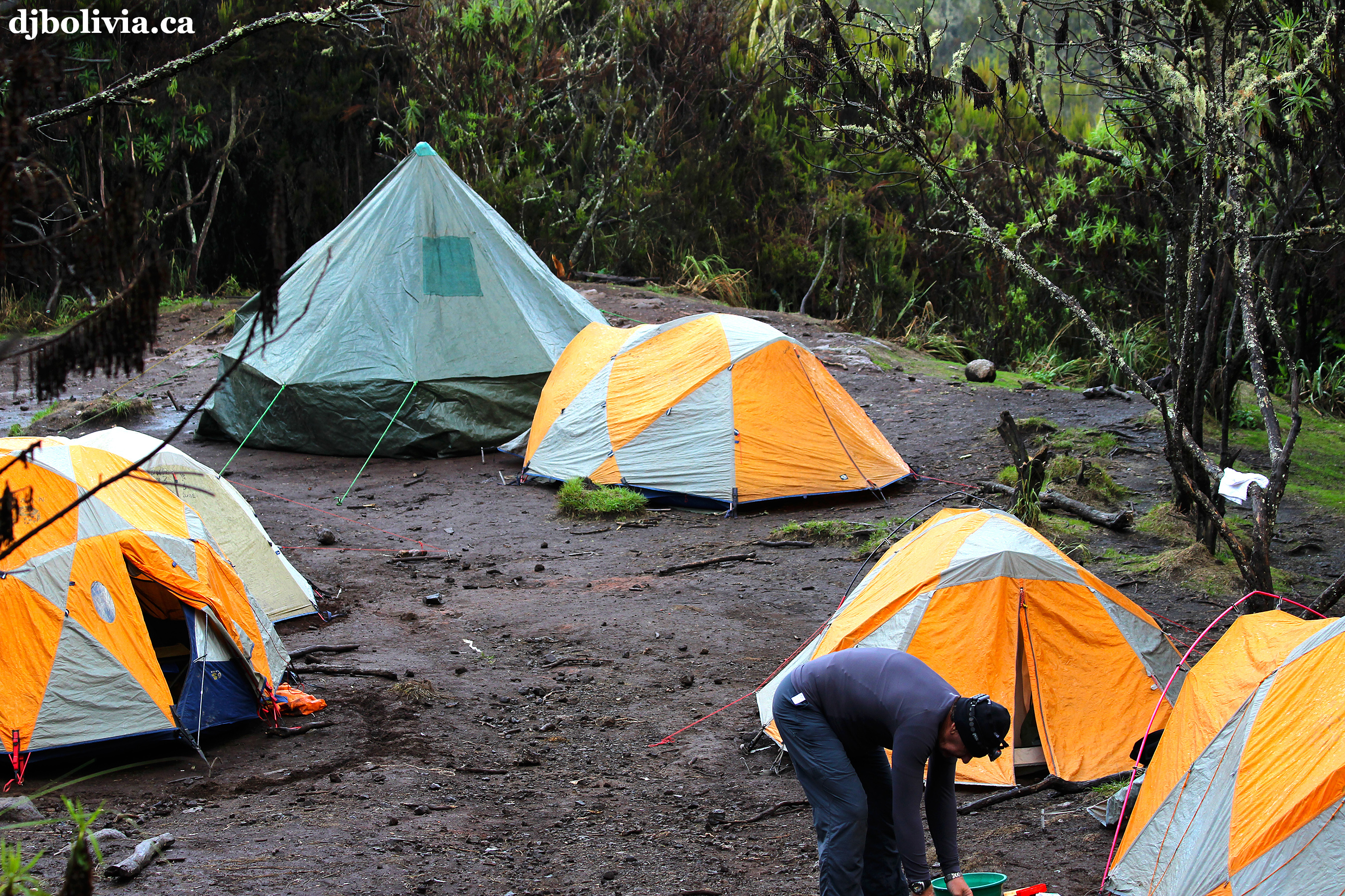 Tents at our first camp site, the Machame Camp (2980m altitude). We walked eighteen kilometers this afternoon to get to it.
 Curdin, at Machame Camp.
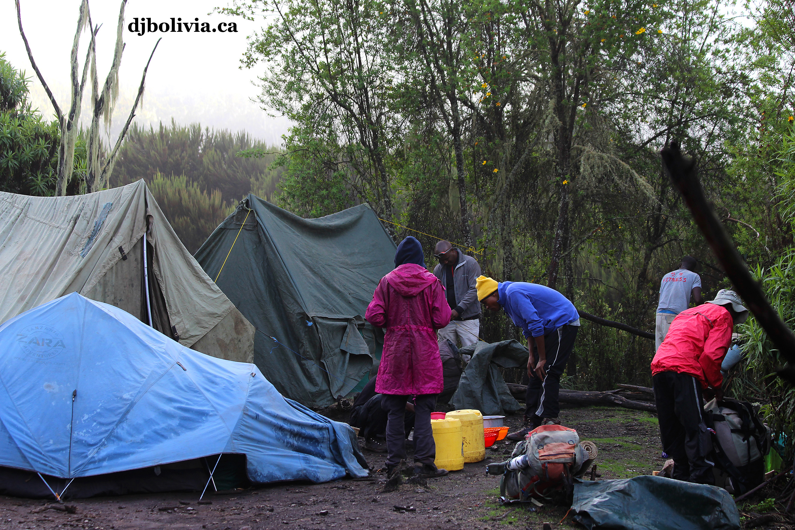 Getting prepared for the night.
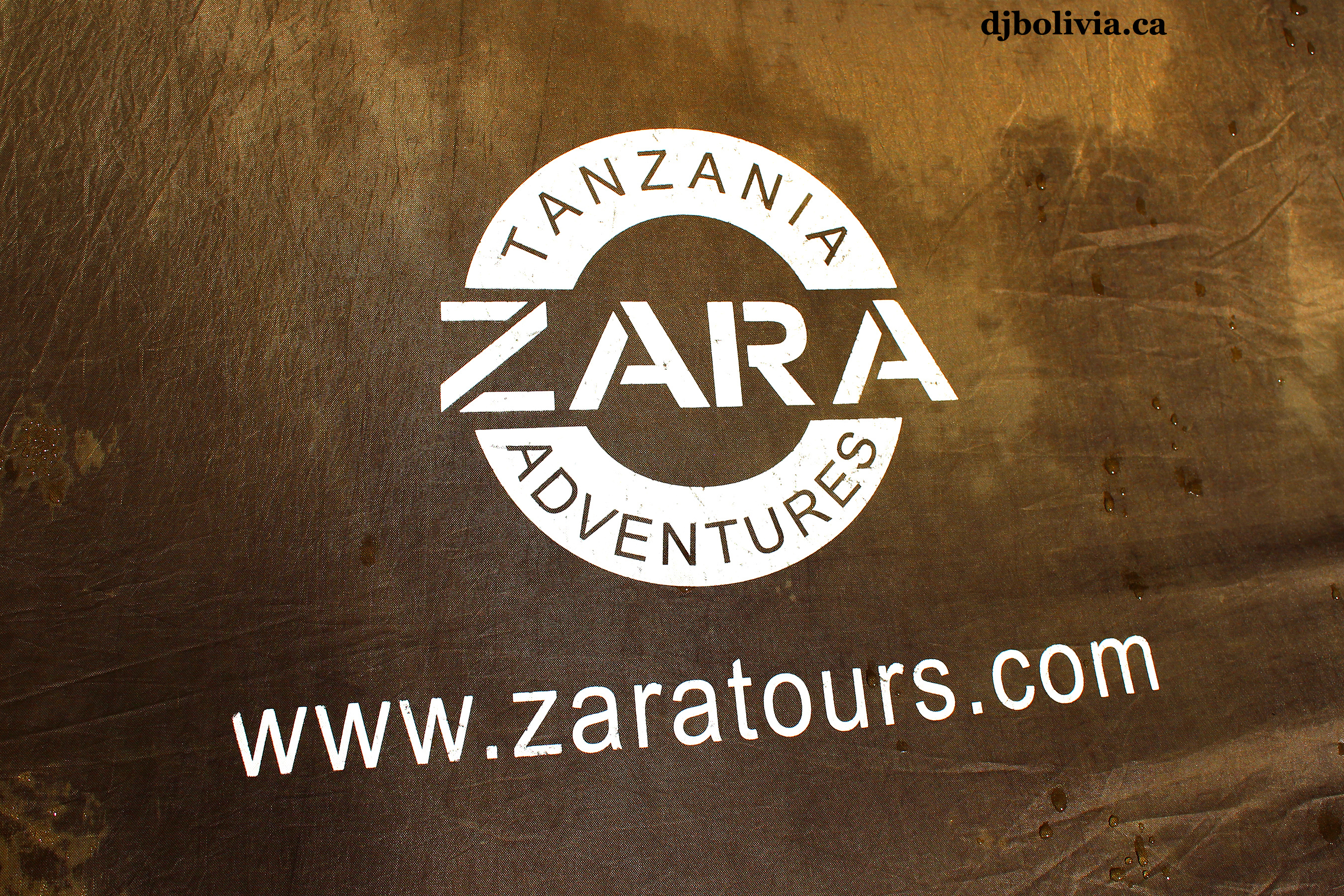 The Zara logo on the side of our tent. I did all my tours through a company called "G Adventures," which is an international adventure travel company that's actually based in Canada. G Adventures subcontracts their Kilimanjaro treks to a local company, Zara Tours. When we talked to people in Moshi about which tour companies were the best, we were pleased to hear that G Adventures & Zara have a good reputation for treating their staff well. There is a link here if you want to see the Machame itinerary on the G Adventures website.
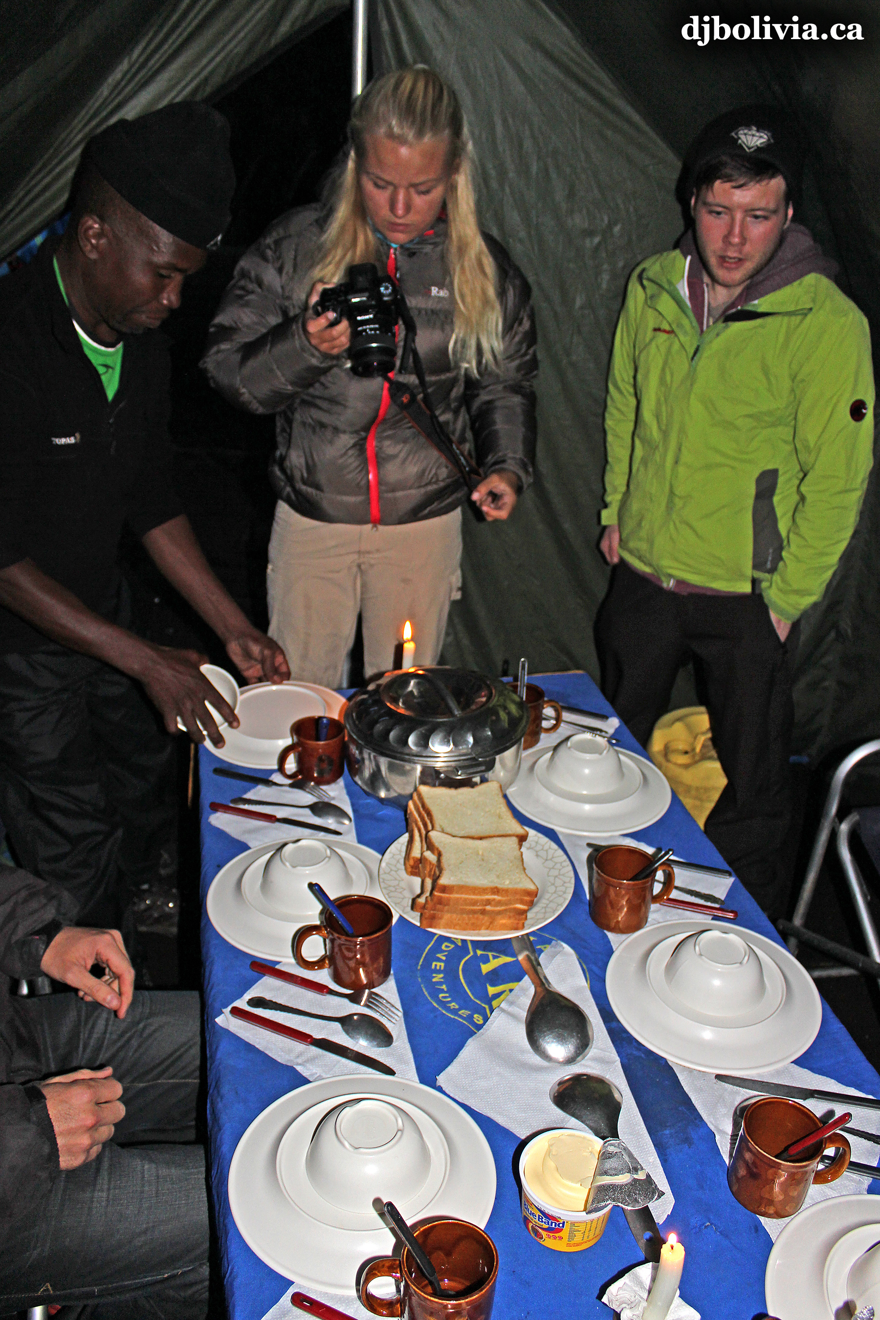 Getting ready to sit down for our first dinner. We were pleased with the meals, although at times the altitude made us lose our appetites.
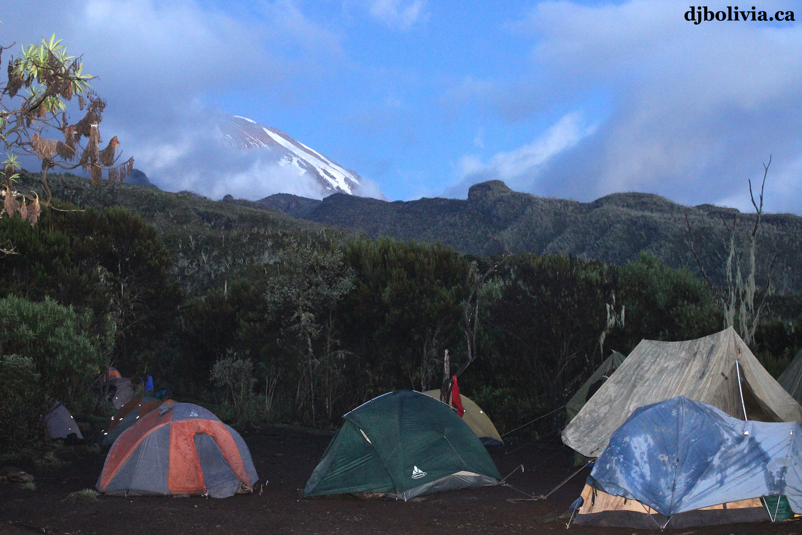 My first sighting of part of the peak. This was in the dusk, so I had to do a long time exposure to capture this photo. Incidentally, almost all of the photos here were taken with my Canon T3i camera, with the stock lens. I brought a zoom, but rarely used it.
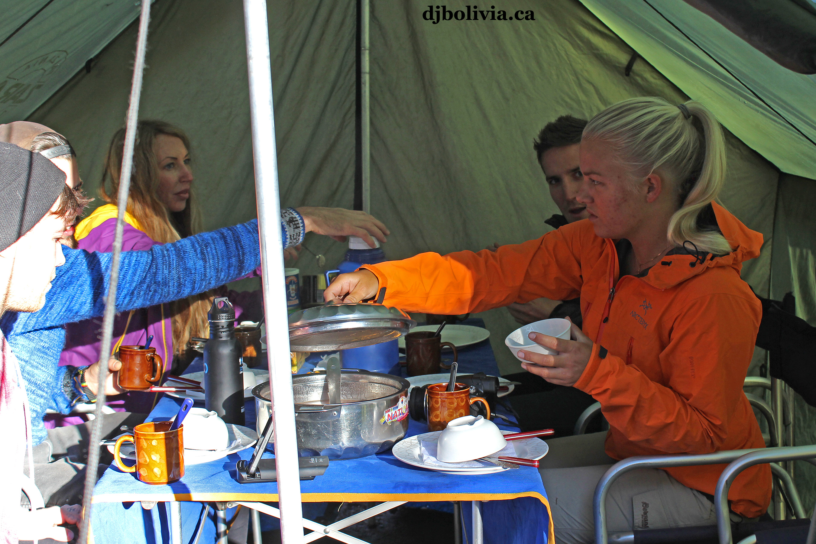 Eating breakfast. That is Martine from Norway in the orange jacket.
 Trying to dry a few items of clothing before we start hiking again.
 A couple of the porters, starting to pack up the tents.
 It's a beautiful morning. Unfortunately, this was almost the end of the "moisture-free" part of the trek.
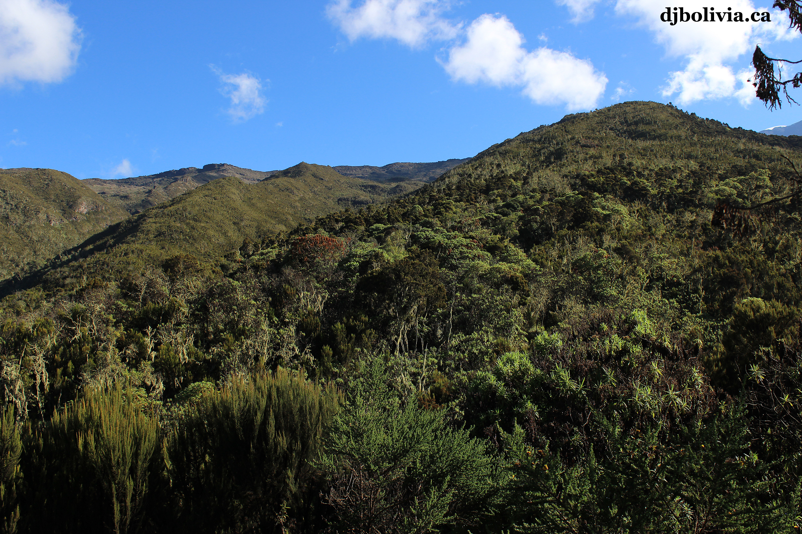 Looking up, we realized that we still had a long way to go.
 Let's get started.
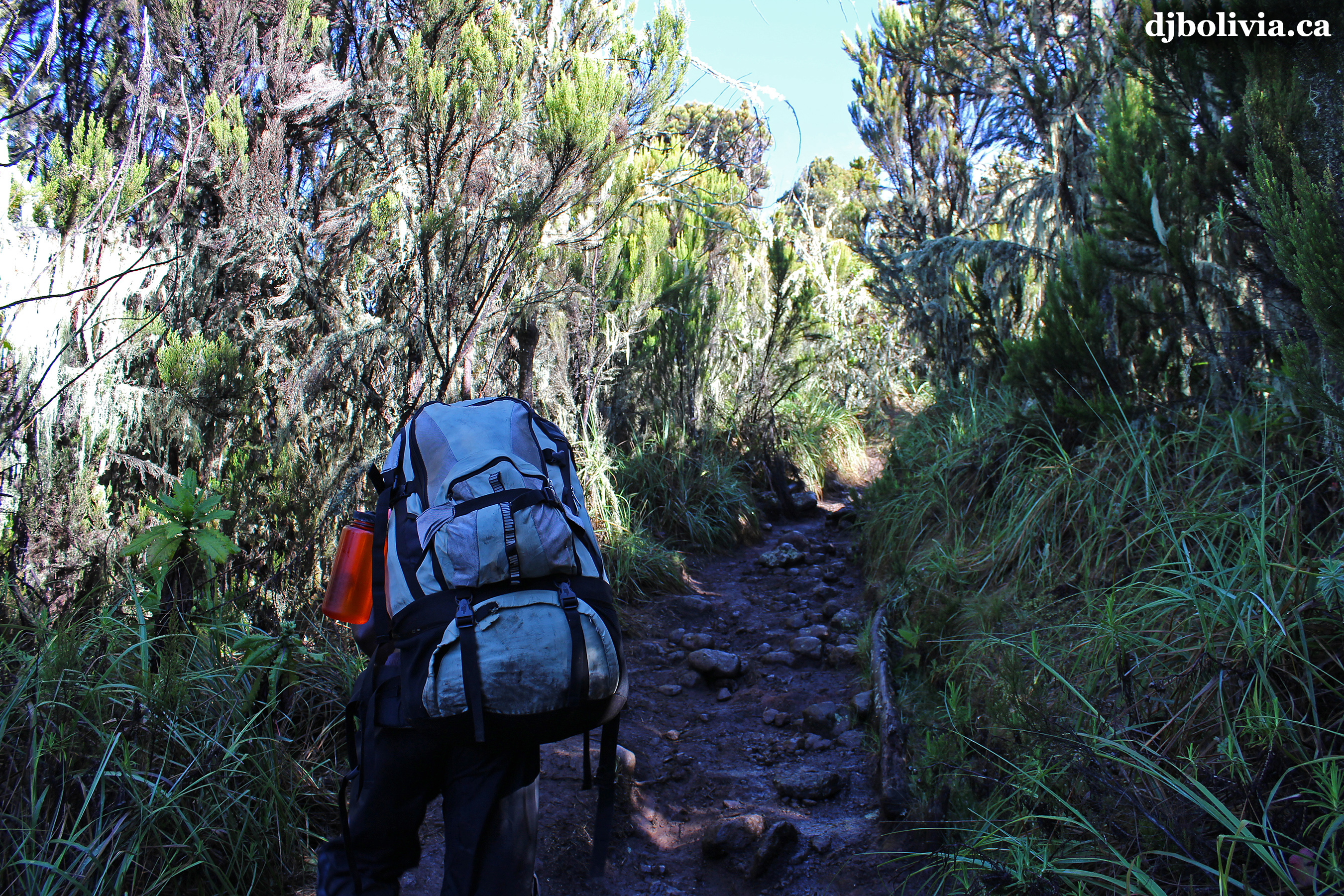 The trail is starting to become rougher this morning.
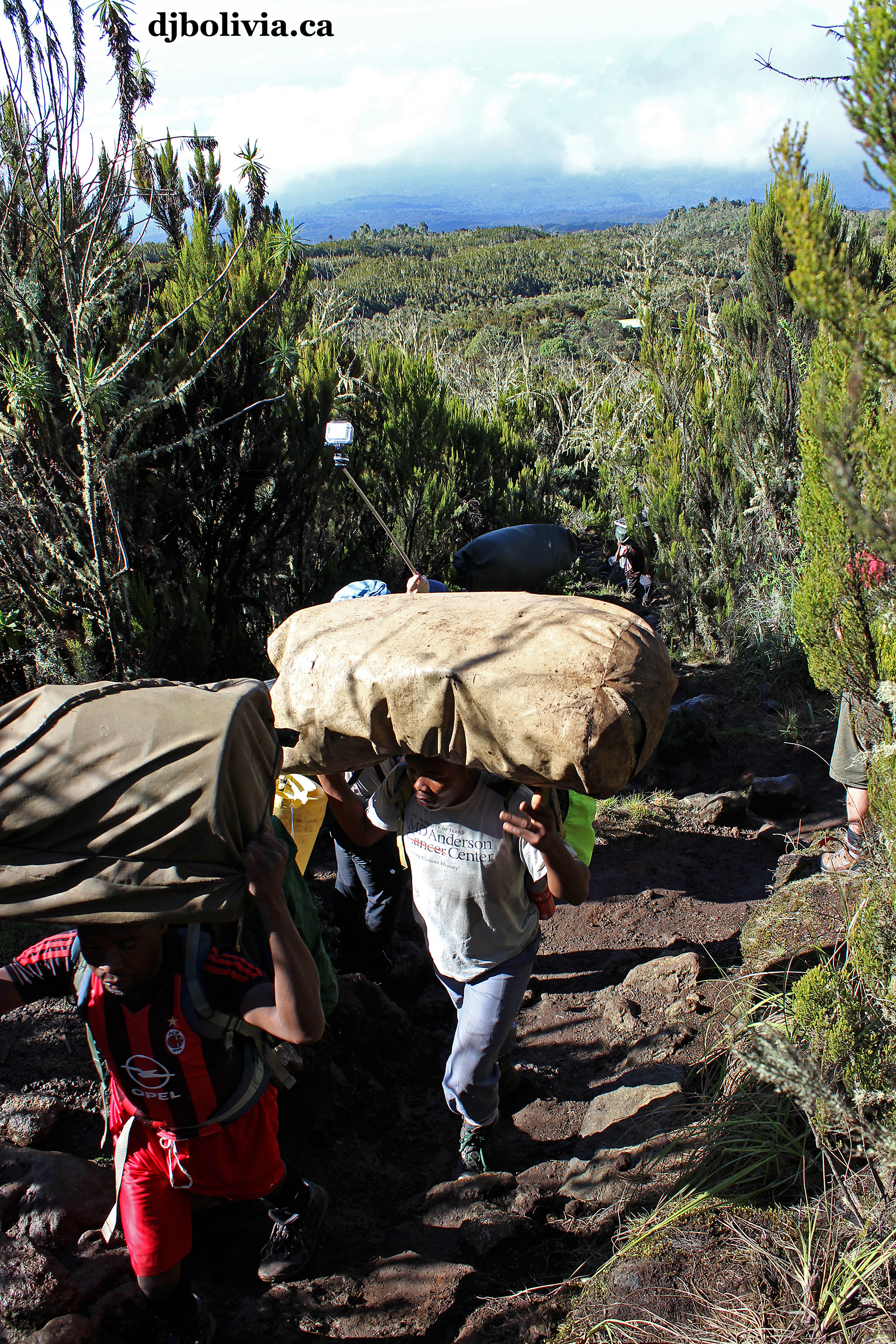 And it has steep sections.
 The top of a giant senecio. Also known as Dendrosenecio kilimanjari if you want to read more information. The climb up Kilimanjaro takes you through several distinct bioclimatic zones.
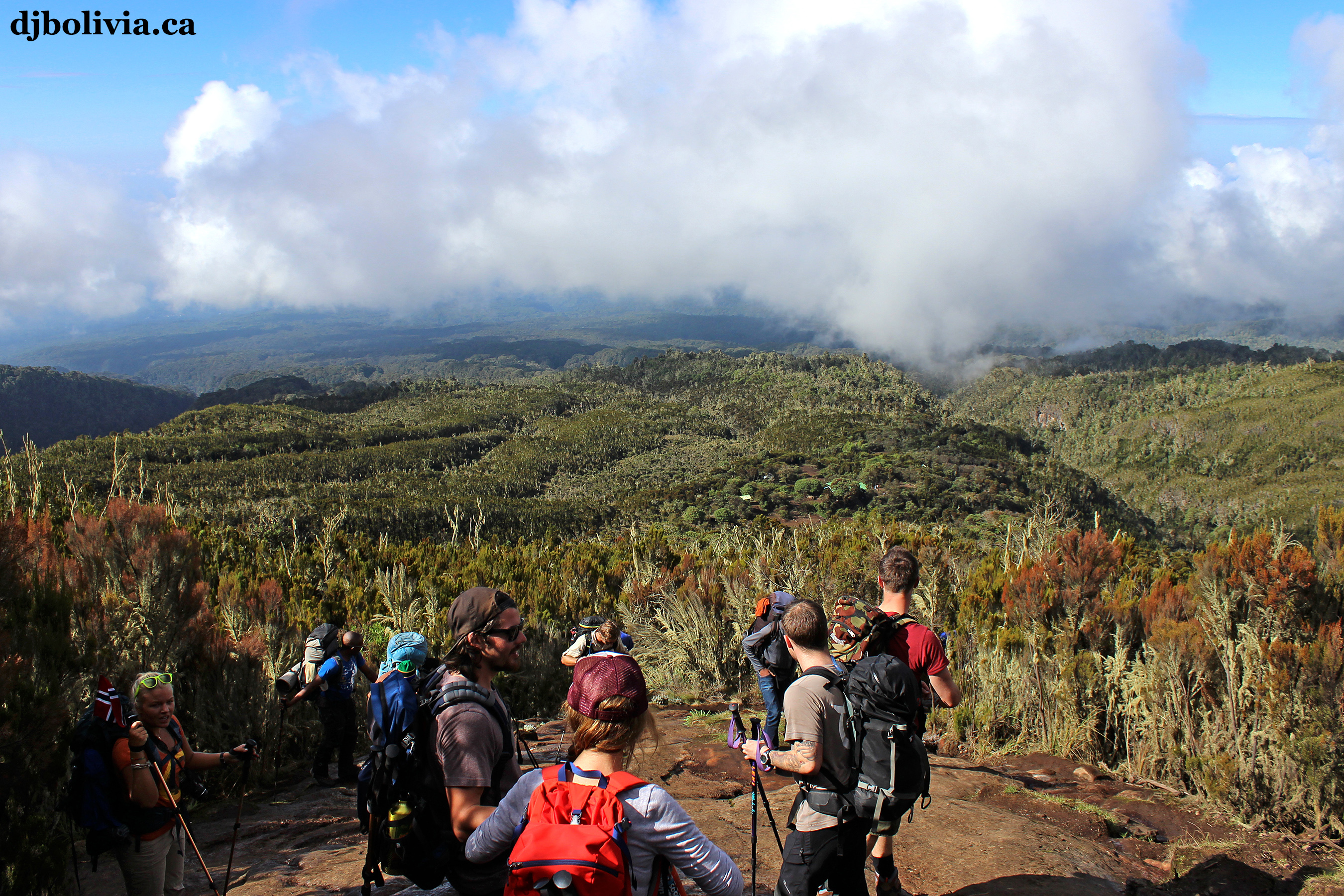 Looking back down on Machame Camp.
 I haven't been able to identify these plants yet. Photo 27, if you know what it is. I believe that the lichen on the plants is Old Man's Beard, a type of Usnea lichen.
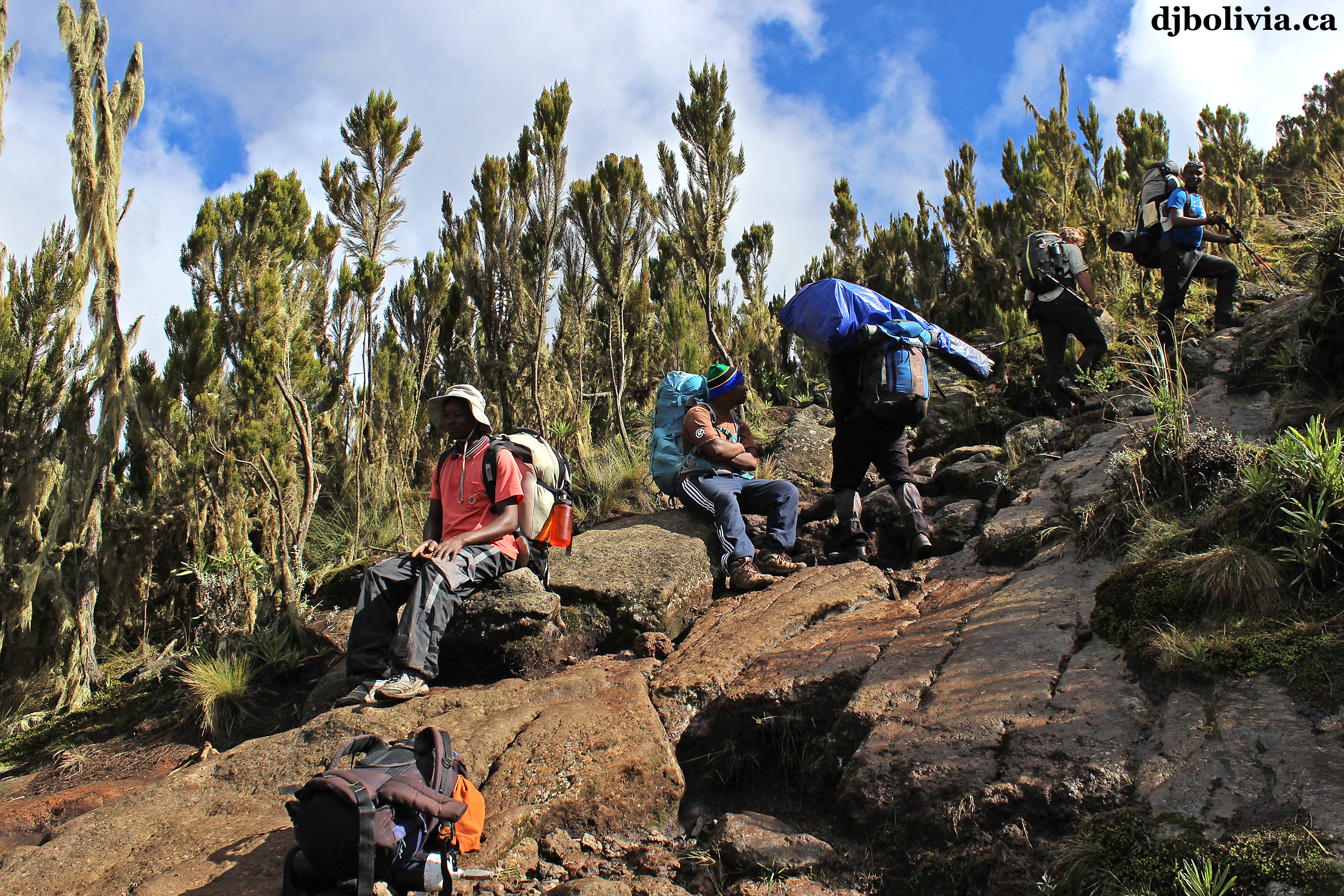 Our guides frequently made us take brief rests. We didn't complain.
 I haven't identified this yet. Photo 29, if you know what it is.
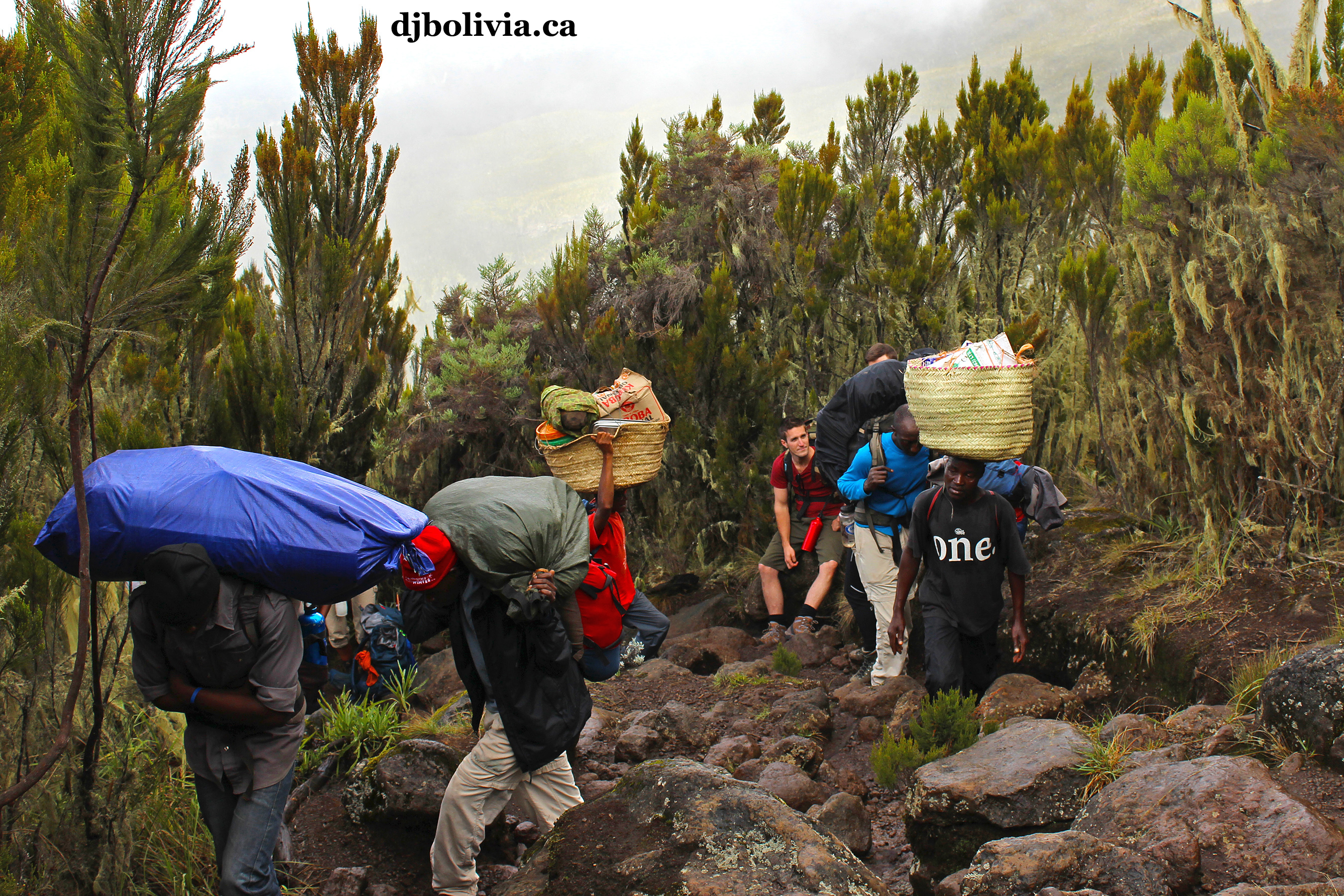 We often stopped briefly to let the porters go past us. They had a hard enough job as it was, without trying to walk around us.
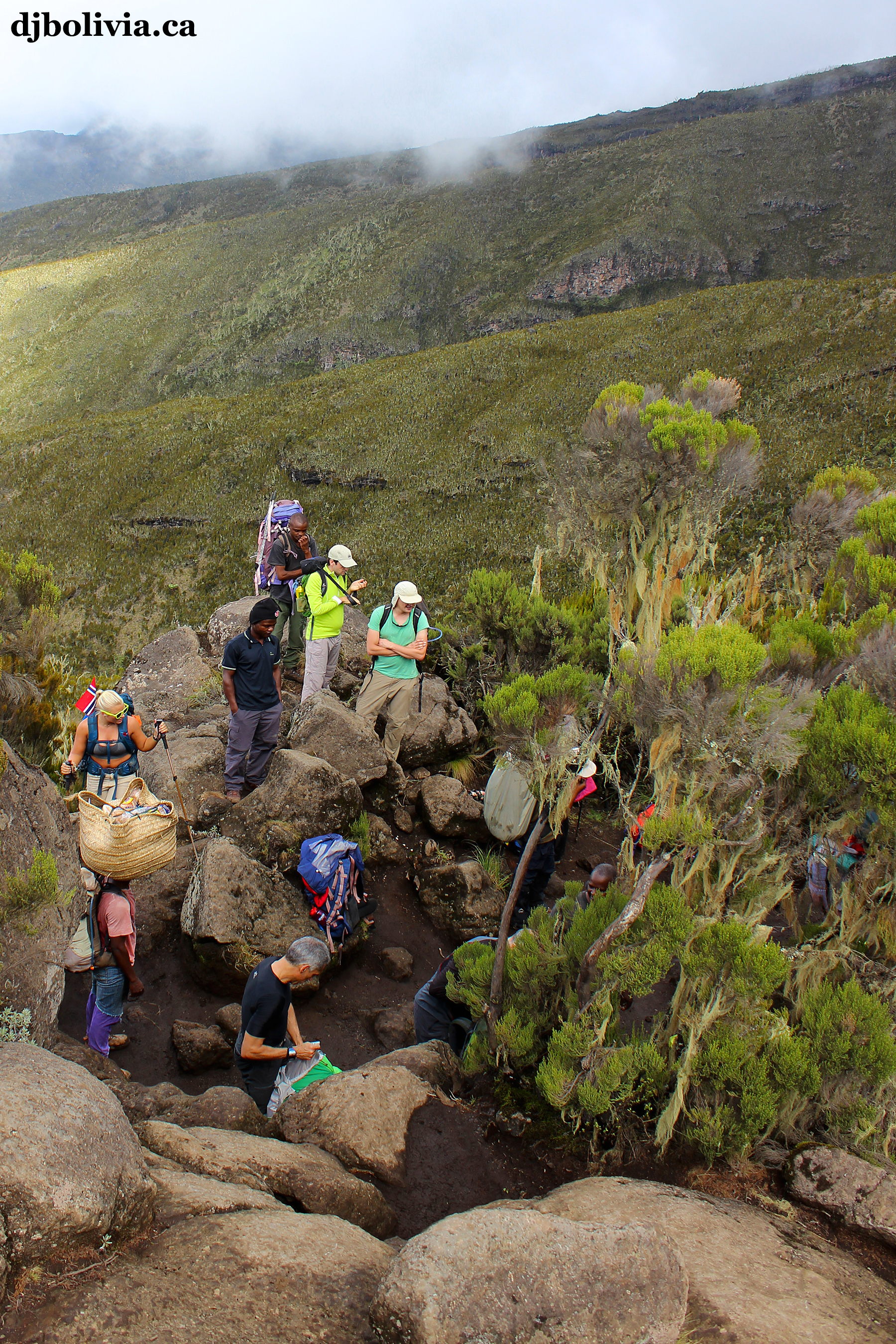 Looking down during a rest break.
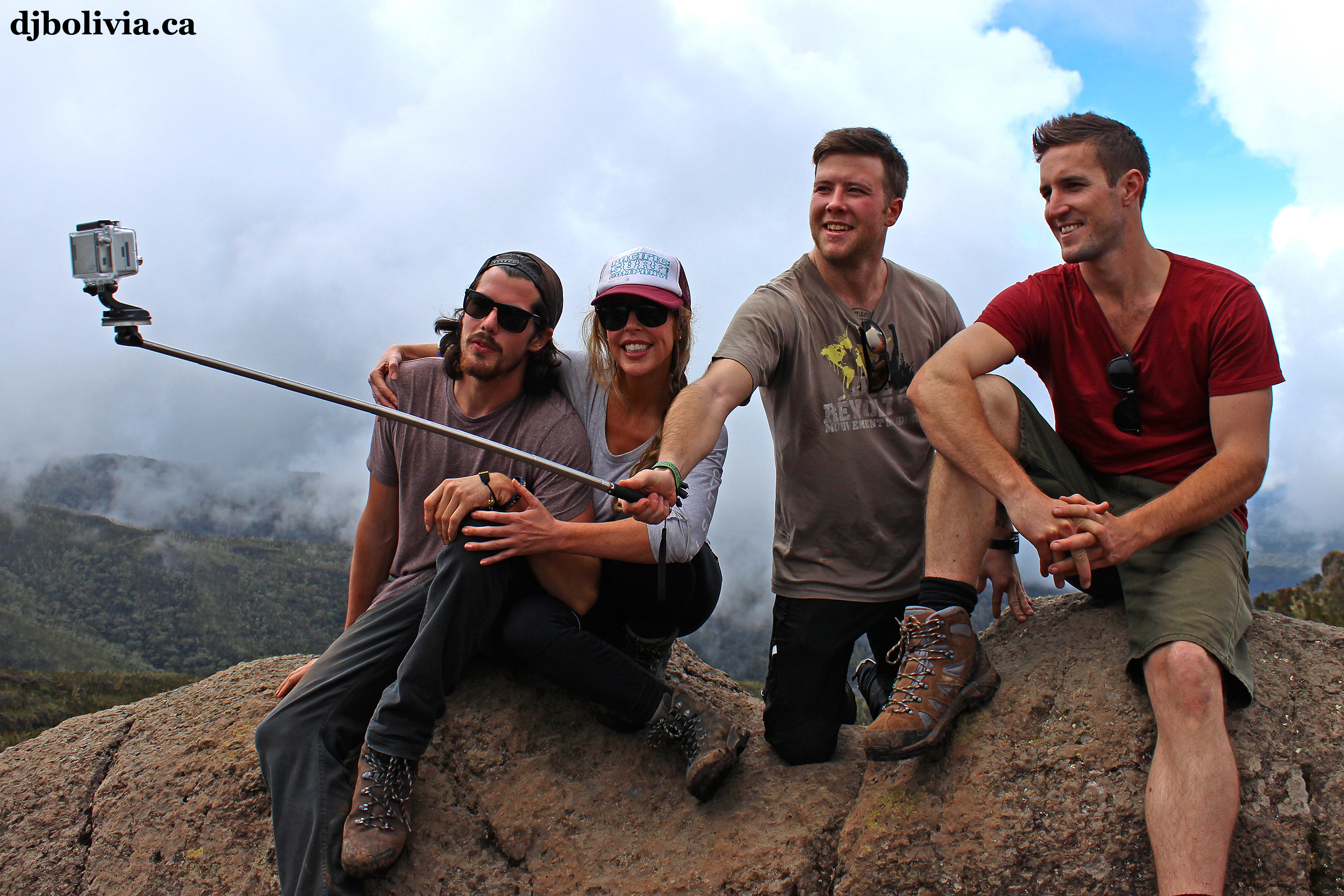 Time for a group photo. On the left are Nathan and Jackie, two other Canadians. Nathan grew up about ten kilometers from where I grew up on Canada's east coast, and we discovered that we have many friends in common. Even more unexpected, he works for a helicopter company that I also work with, on the other side of Canada, about five thousand kilometers away. So we also have mutual friends on Canada's west coast. It's a small world.
 The hike continues, into the mist and clouds.
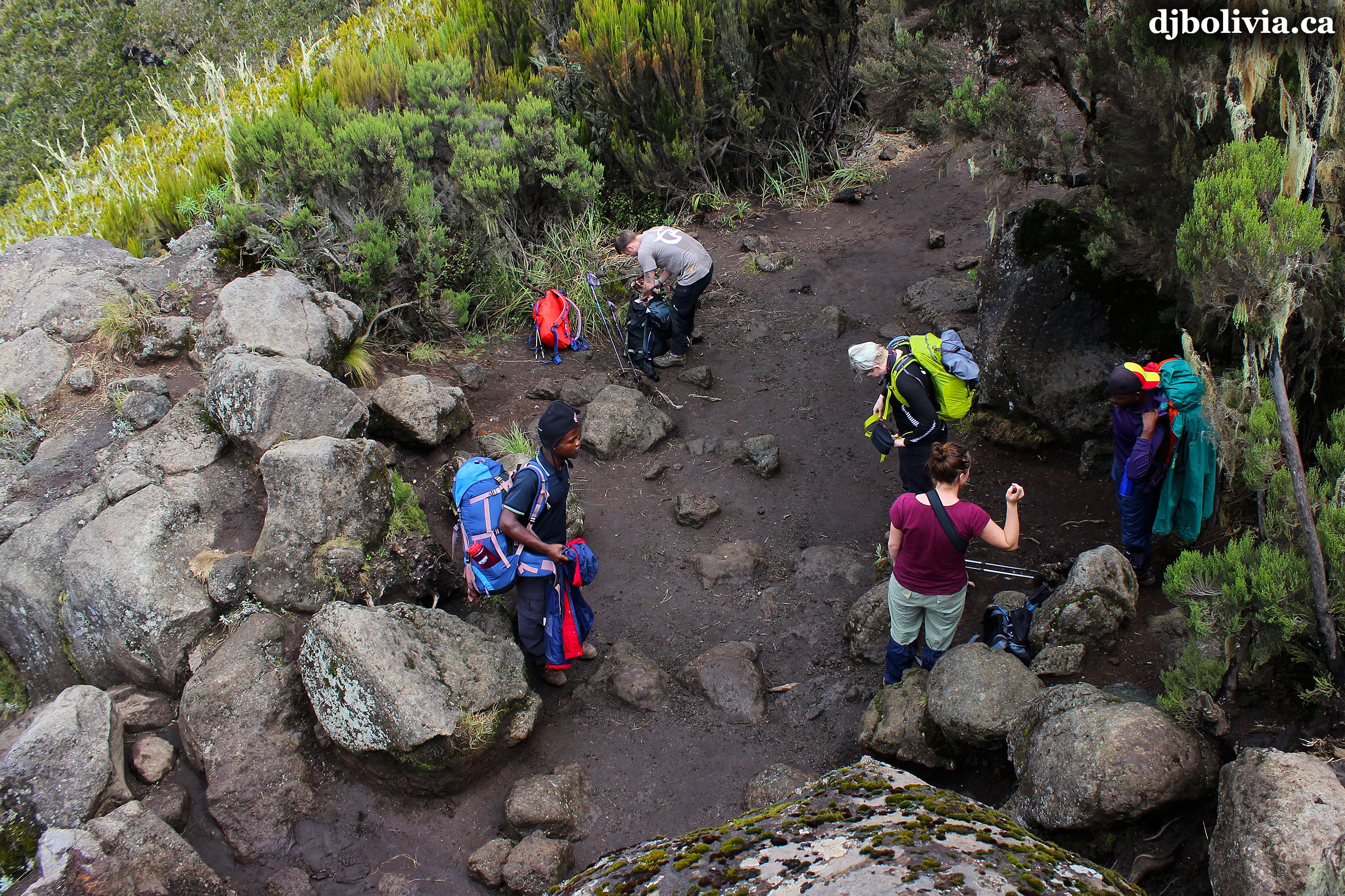 Looking "back" means looking down.
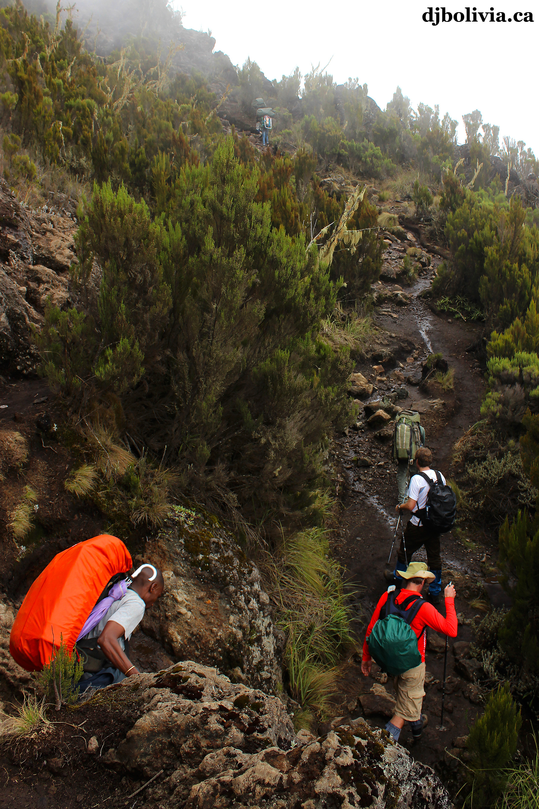 The trail is still pretty obvious, as you can see in this photo.
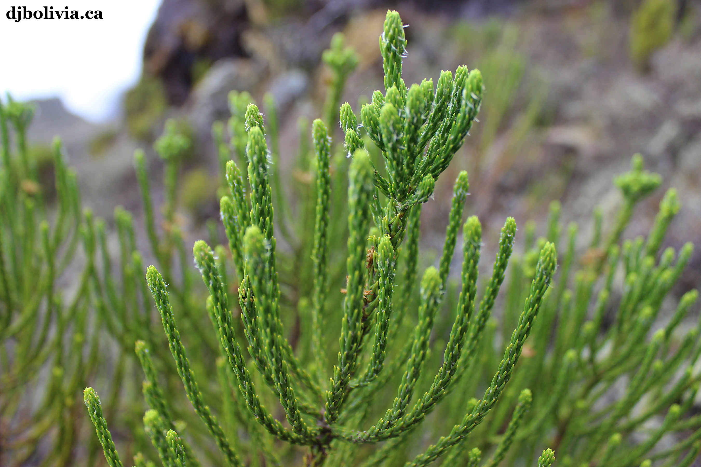 I haven't identified this yet. Photo 36, if you know what it is.
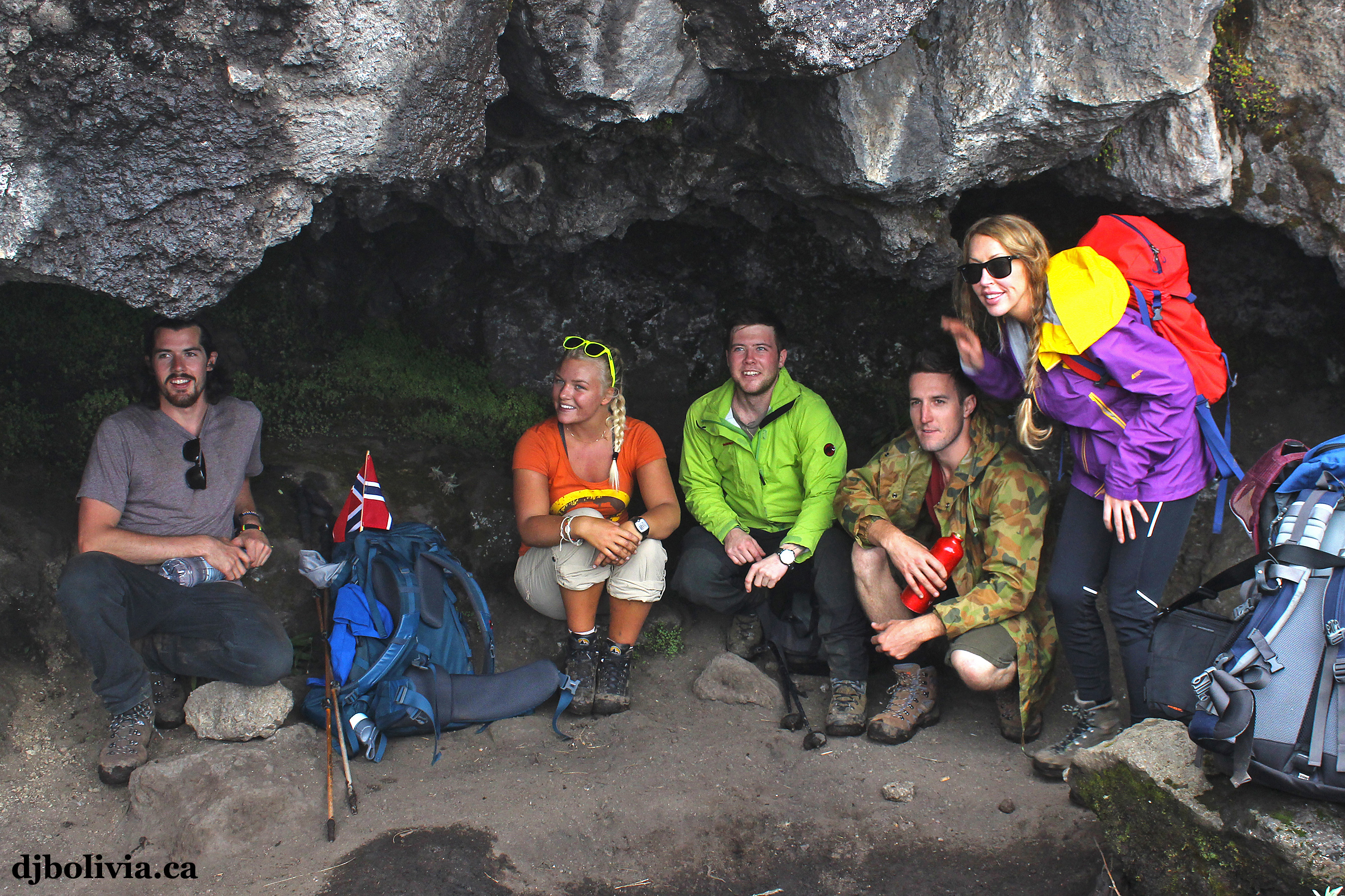 A quick rest stop and photo opportunity in one of the many caves that can be found on the mountain.
 On the right side of this photo is Mitch from Australia, the remaining member of our group.
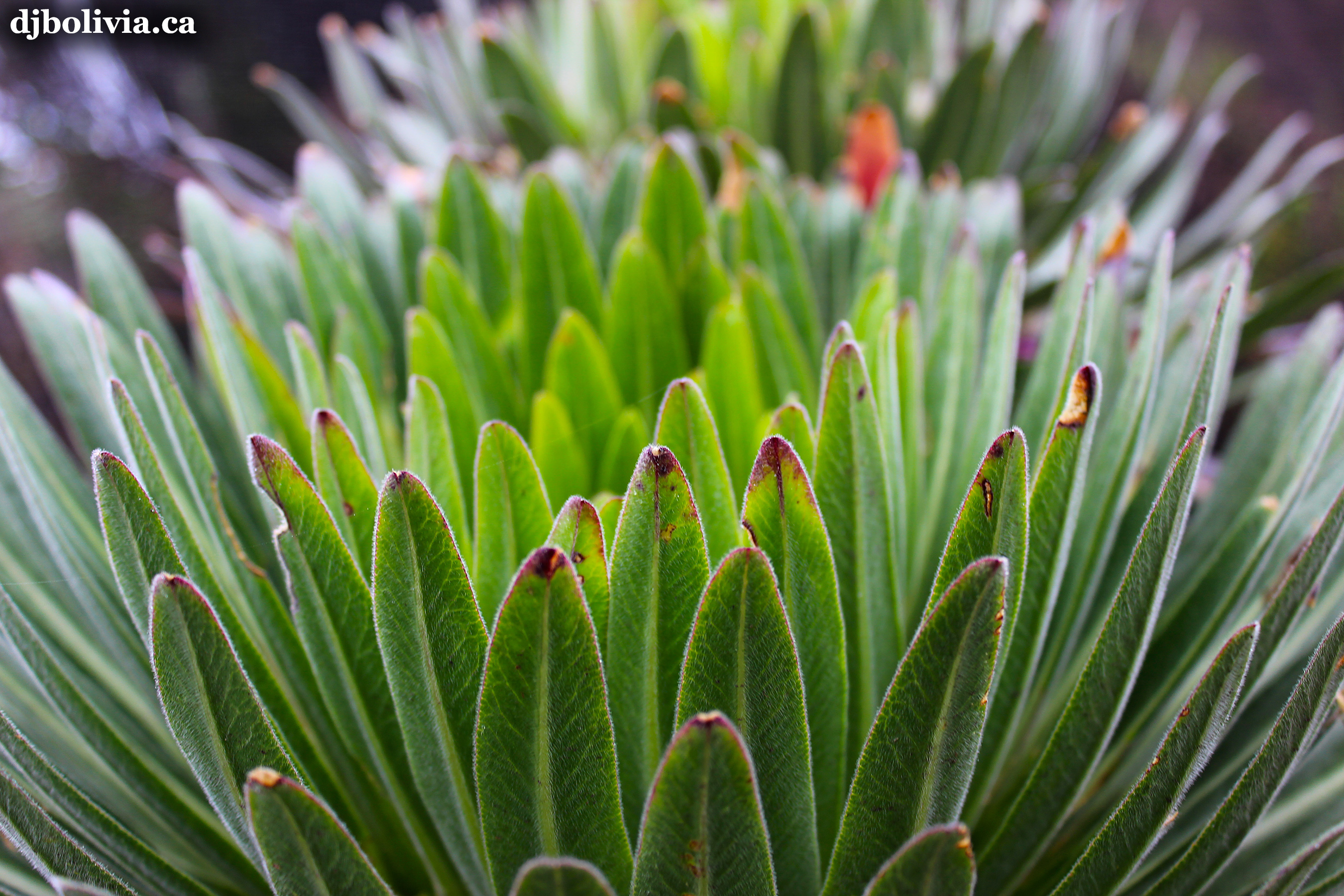 I'm not sure what this is. Photo 39. I thought at first that it was Lobelia deckenii, but the leaves don't look quite correct. Maybe someone can correct me.
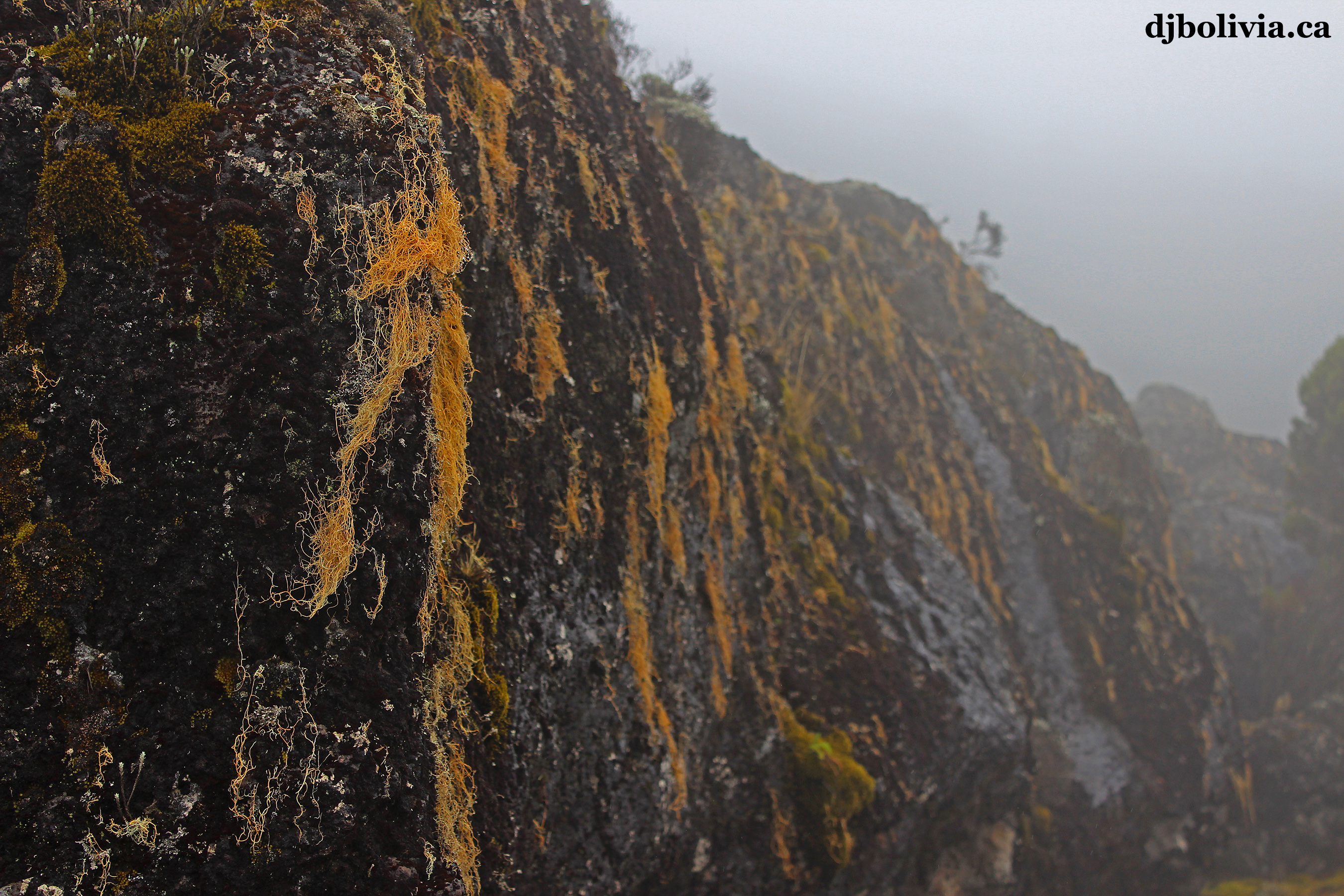 Orange lichens on the rocks. I don't know exactly what species they are. However, while trying to figure it out, I came across this interesting blog about Kilimanjaro, by Tom Dunkel.
 This was one of my favorite photos, taken on the second afternoon at Shira Camp. This looks like a dusty photo, but it isn't. It highlights the mist and the wind.
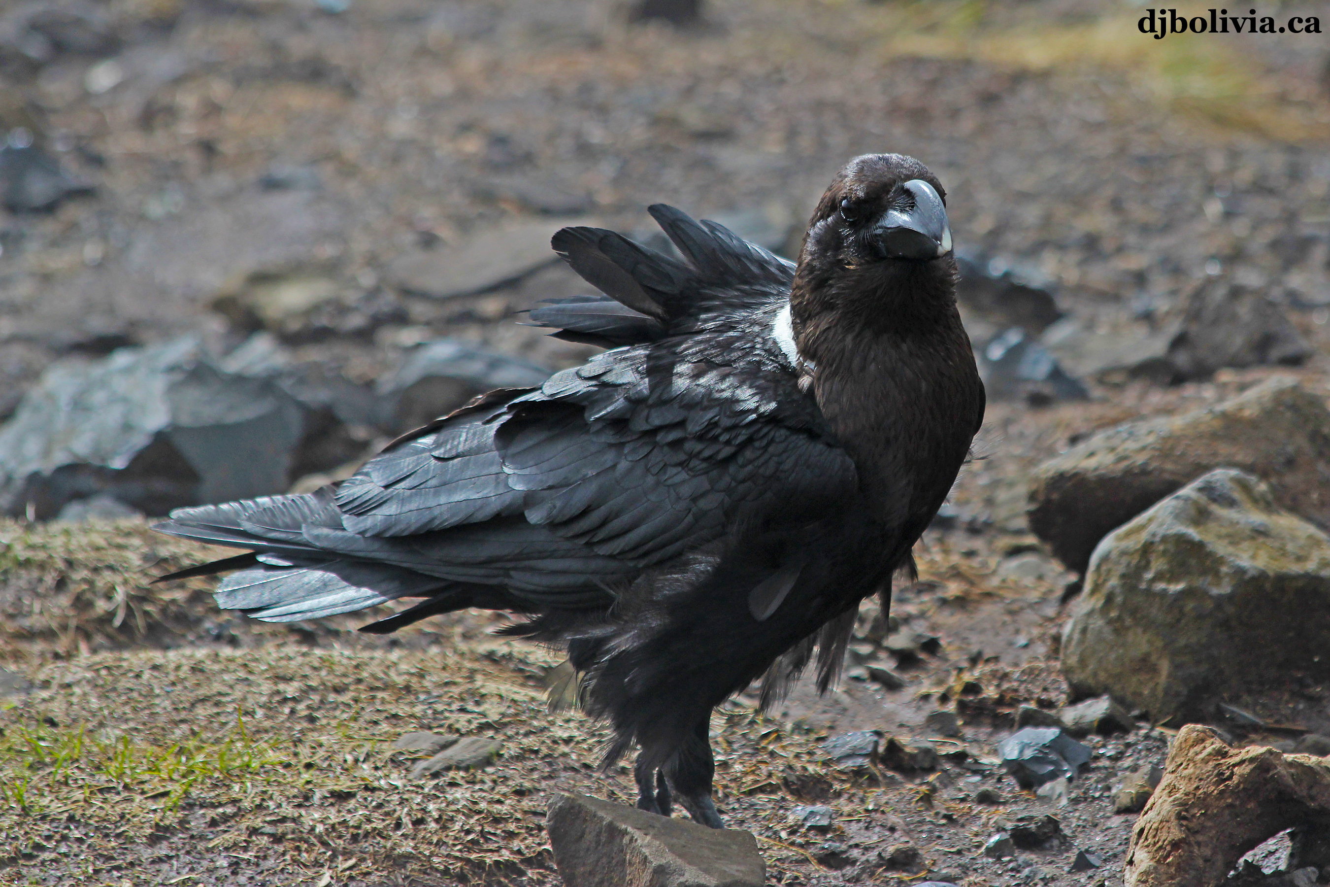 This is my favorite bird (except for the day that it ate my lunch). The Pied Crow is common around Africa, but the Pied Crow has a white patch on its chest. This is NOT a Pied Crow. This is a larger bird, the White Naped Raven.
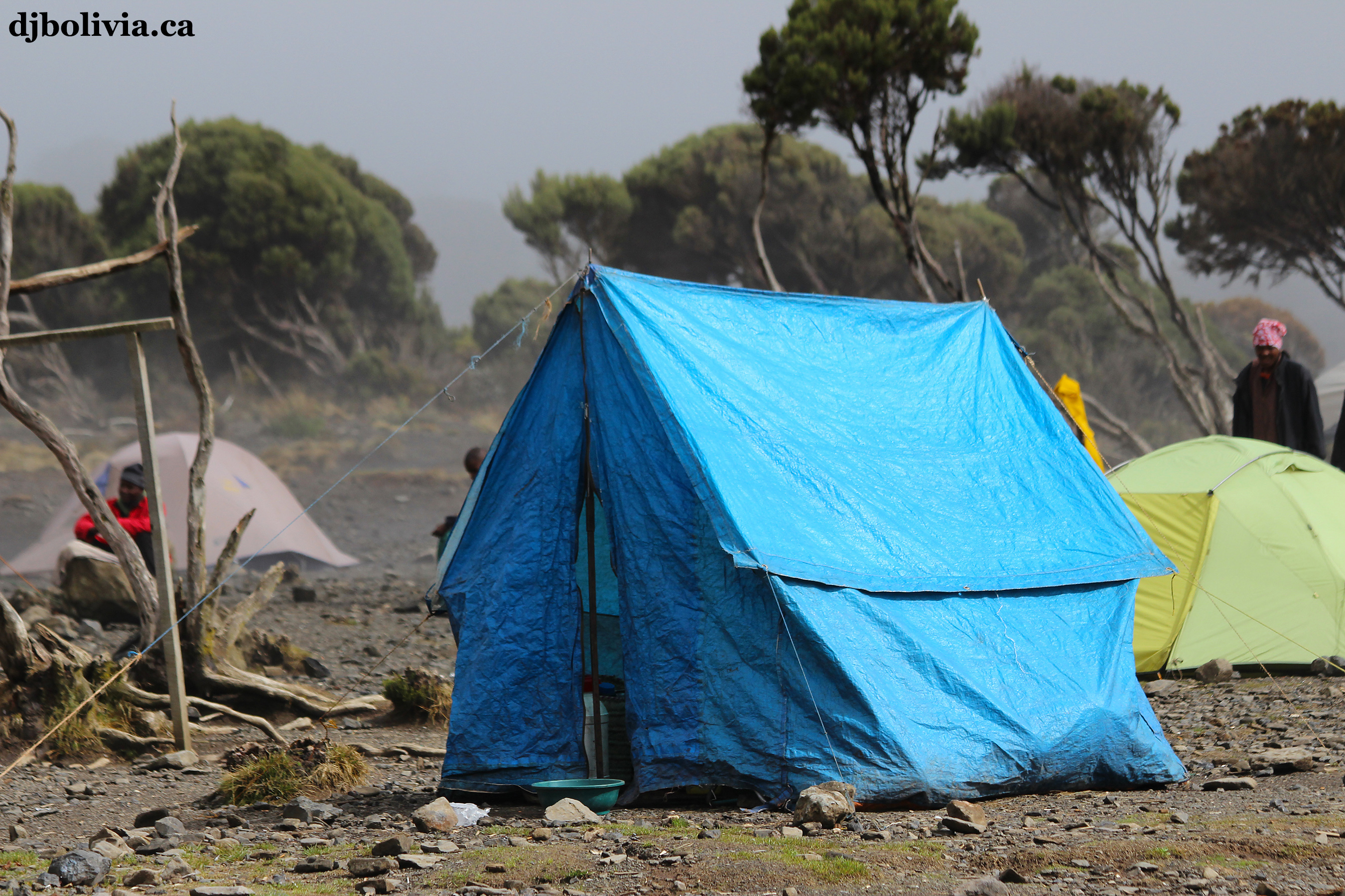 More tents at Shira Camp.
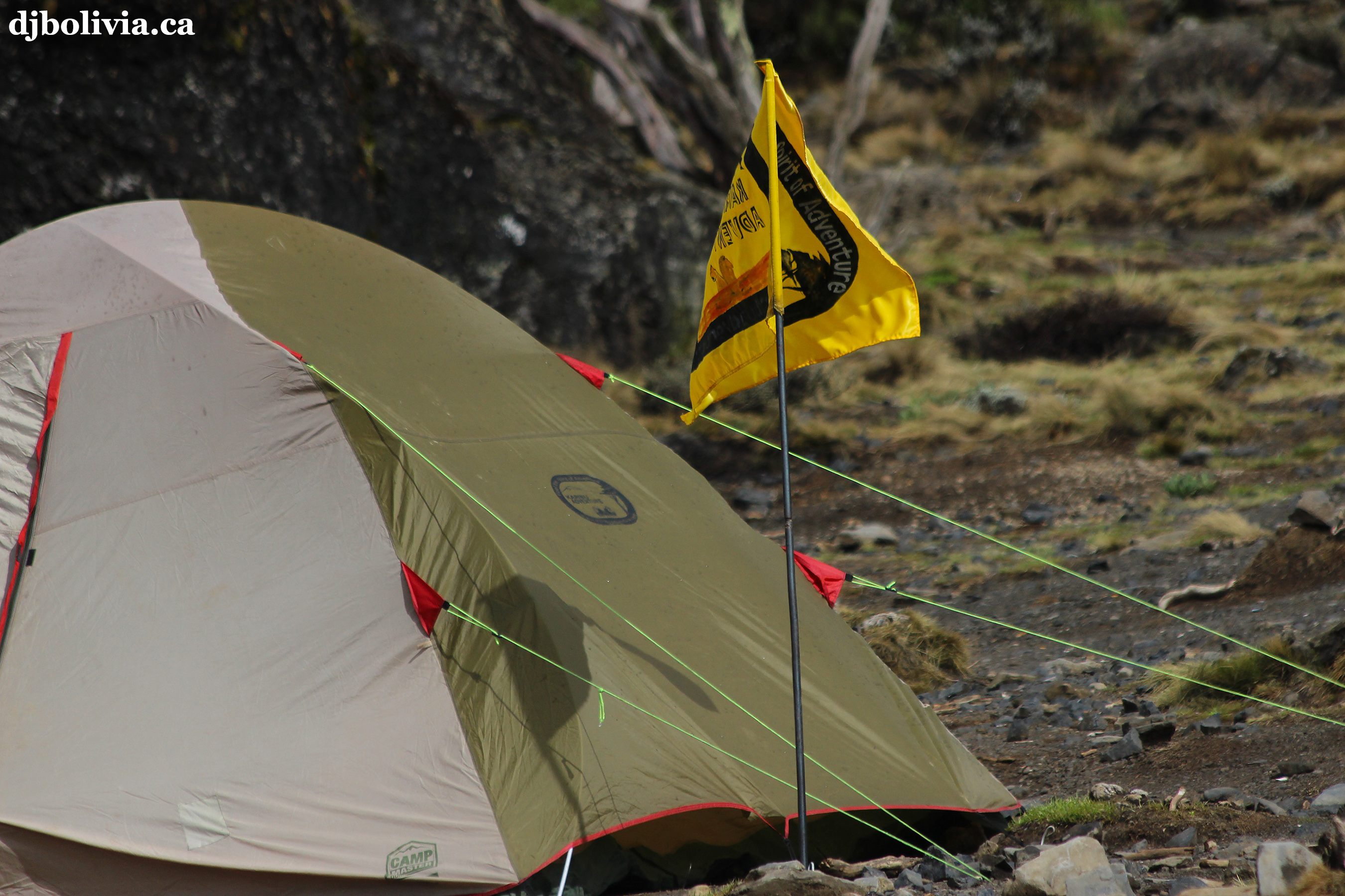 Again, this was taken at Shira Camp.
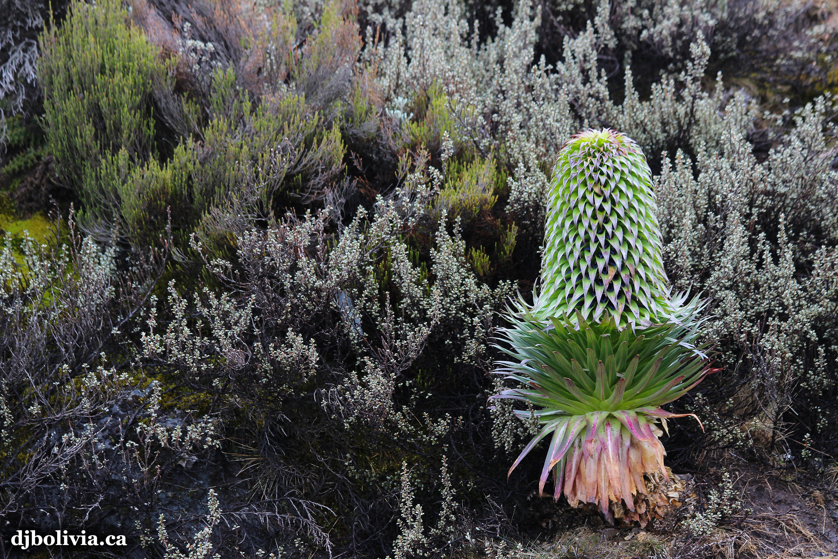 I think that this is the real Lobelia deckenii, not the plant in photo 39.
 I love this photo, because the bottom half looks more like an Adobe Ilustrator graphic file than a real photo.
 Martine.
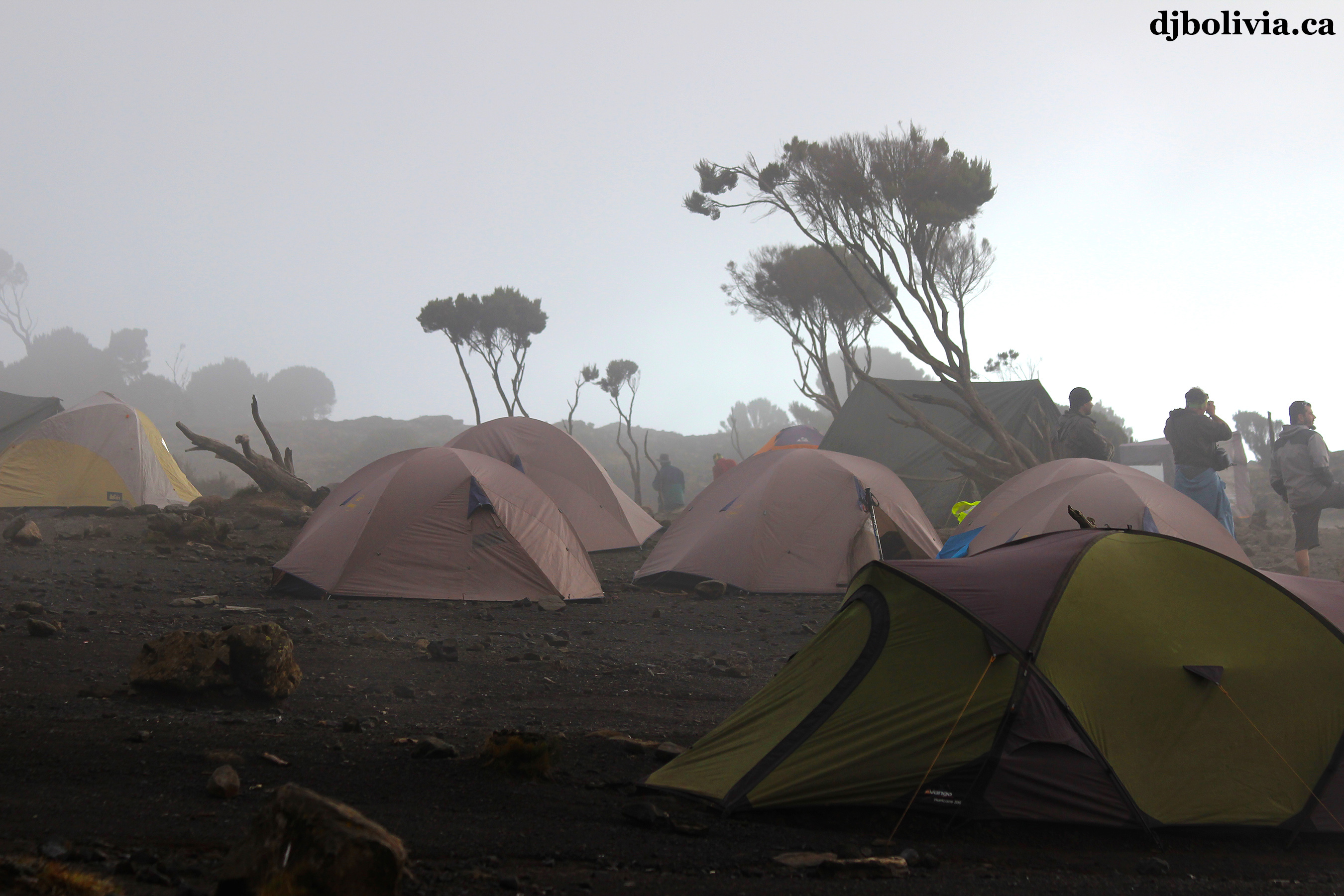 Dusk is approaching, at Shira Camp.
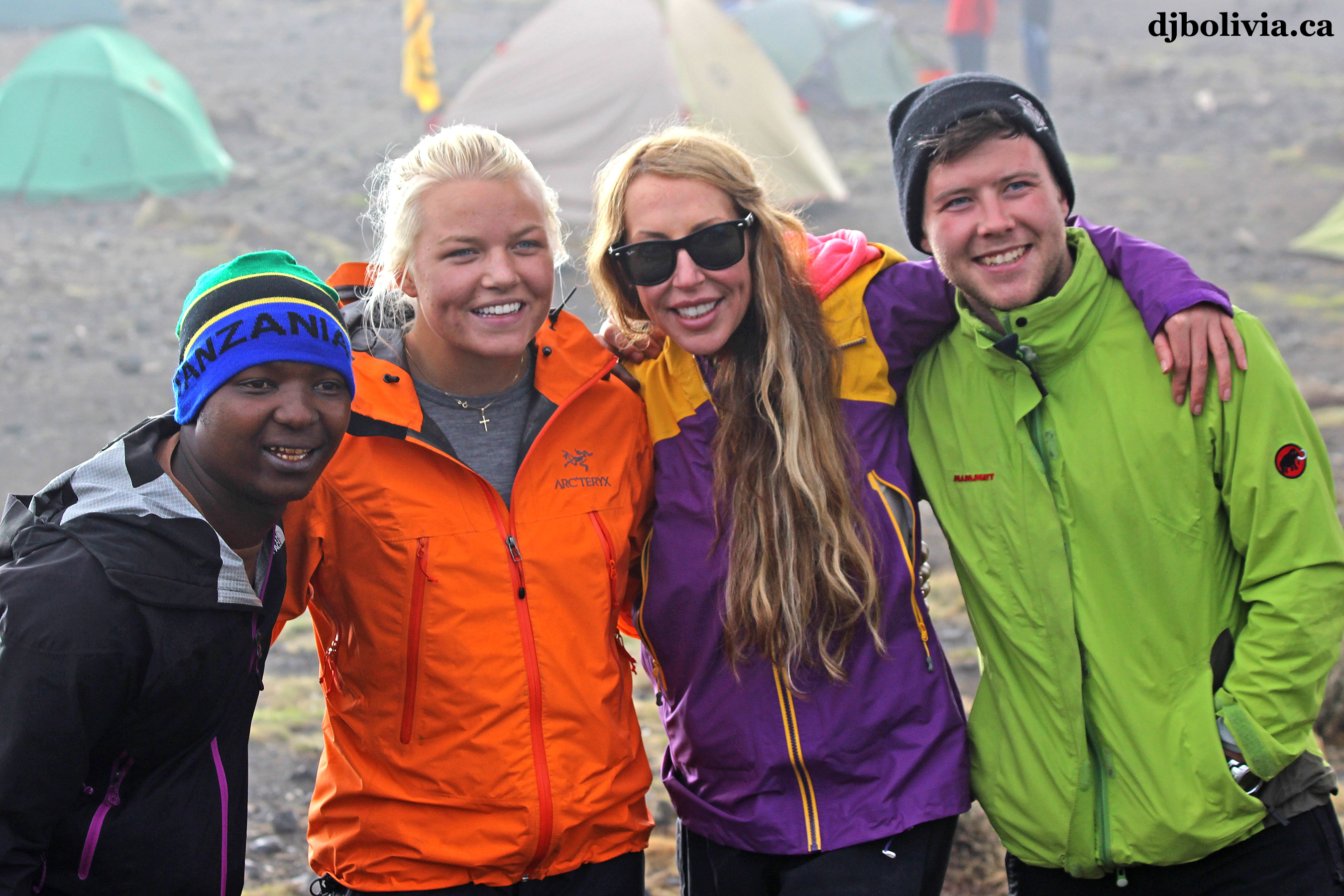 This photo includes our Lead Guide, Hajji. Hajji was a great guide, and he's also educated as a lawyer. This was his 98th trip up Kilimanjaro.
 Relaxing, and waiting for the football (soccer) games to start on the AM radio. The porters were pretty excited about the English Premier League games this evening.
 Another peek at the peak, as the sun is setting.
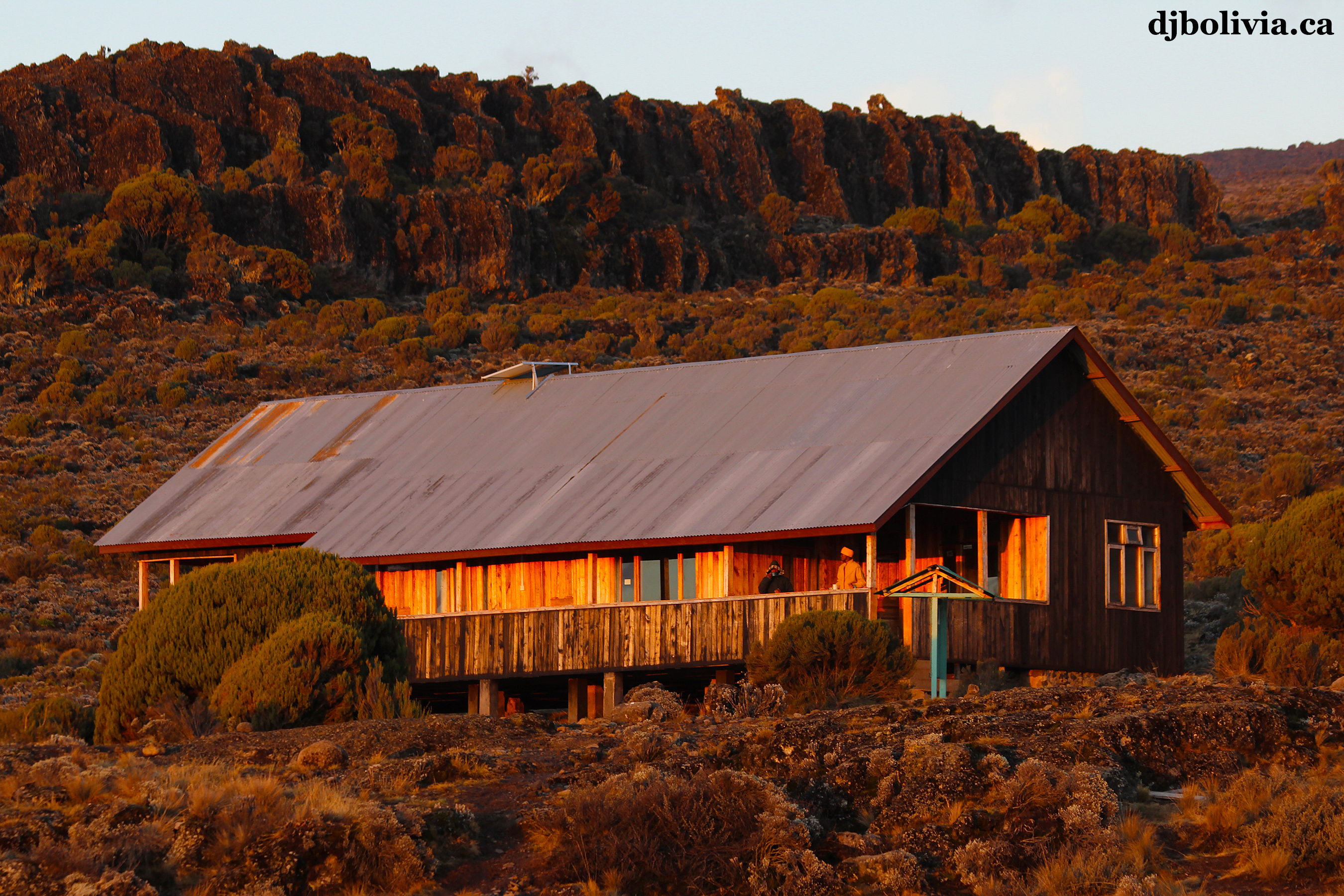 The permanent ranger station at Shira Camp. All climbers sign have to sign in at each ranger station. Also, for those of you with cameras, these stations have power. The number of outlets is very limited, but if you're desperate, you can charge your camera batteries for a few dollars if you brought your charger.
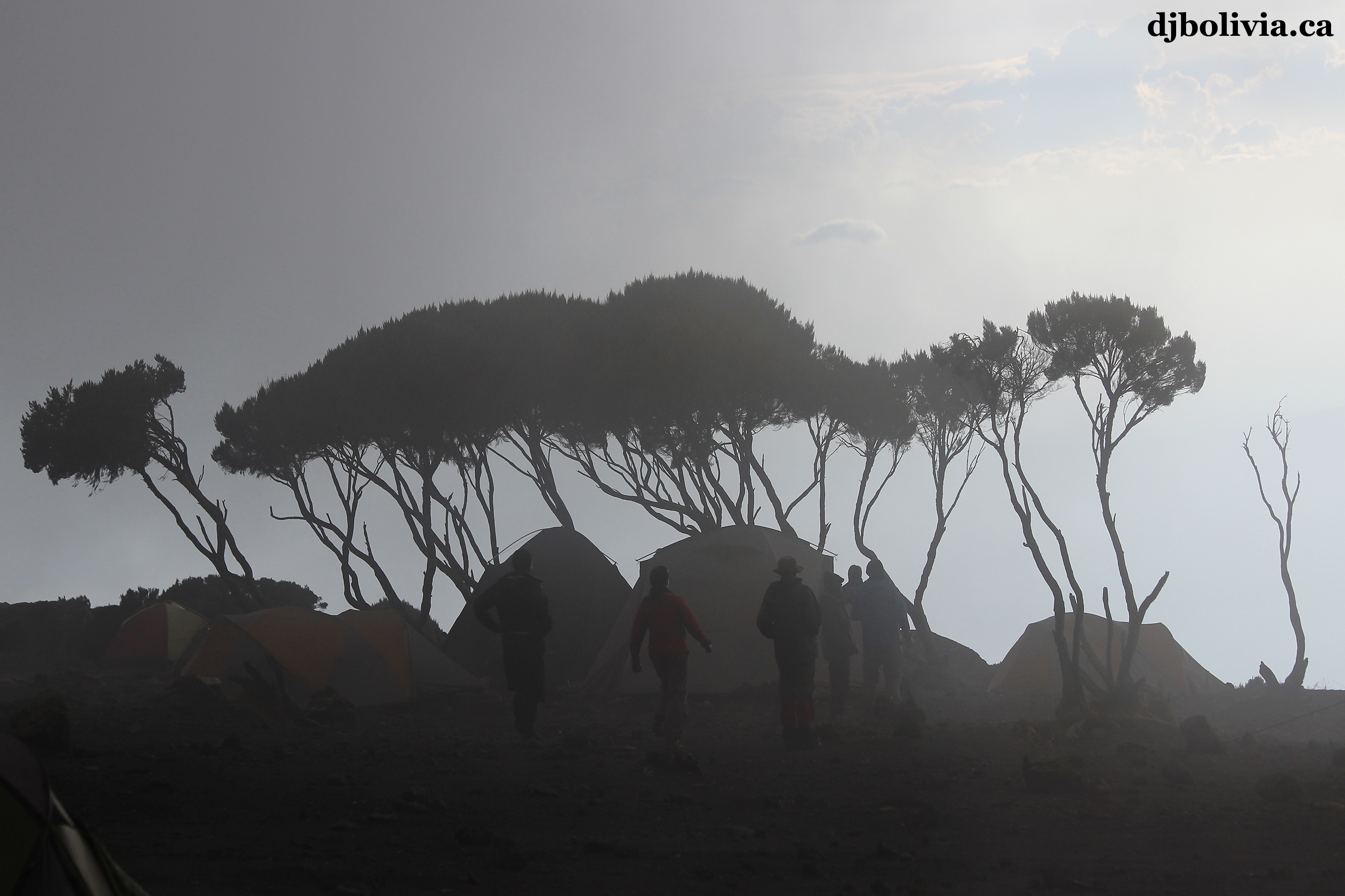 Another shot that looks more like a graphics illustration than a photograph.
 Martine, sitting and watching the sun set behind Mount Meru. Meru is located about 70 kilometers west of Kilimanjaro, and has a height of 4565m.
 Looking up at the mountain above us, just before "sunrise." Actually, the sun has risen above the horizon at this point, but it's hidden behind Kilimanjaro at the moment.
 Tents in the morning, with Mount Meru in the background.
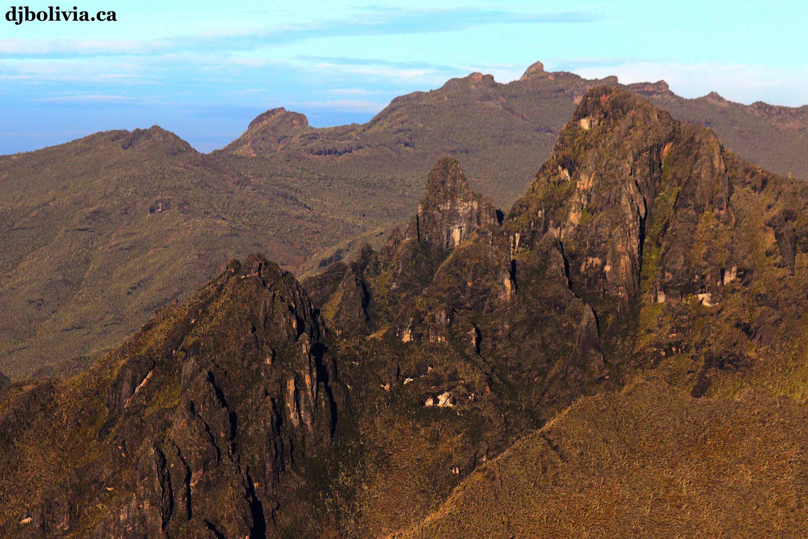 Looking at the topography beside and below us, to the west of Shira Camp.
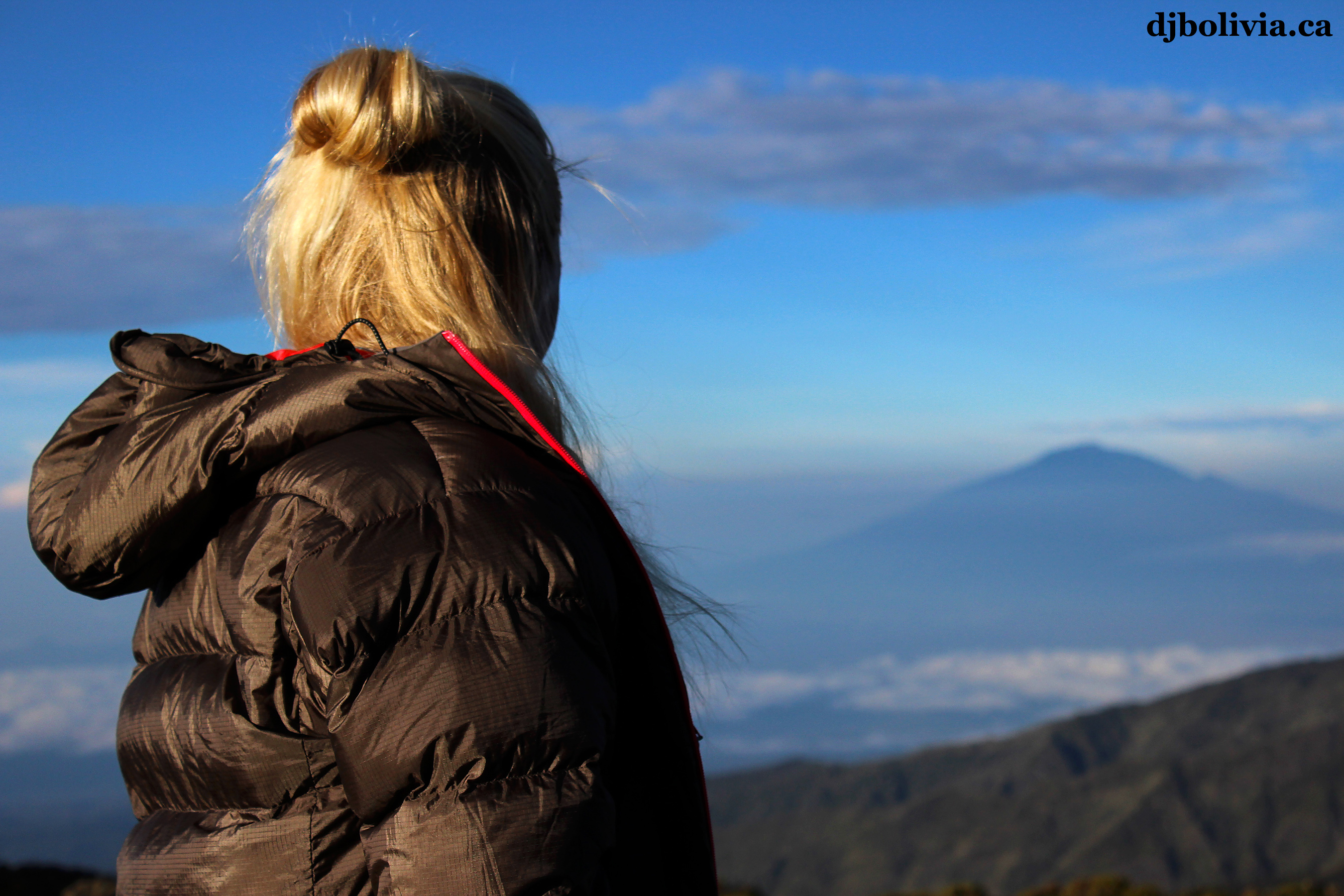 Martine, looking at Mount Meru in the morning.
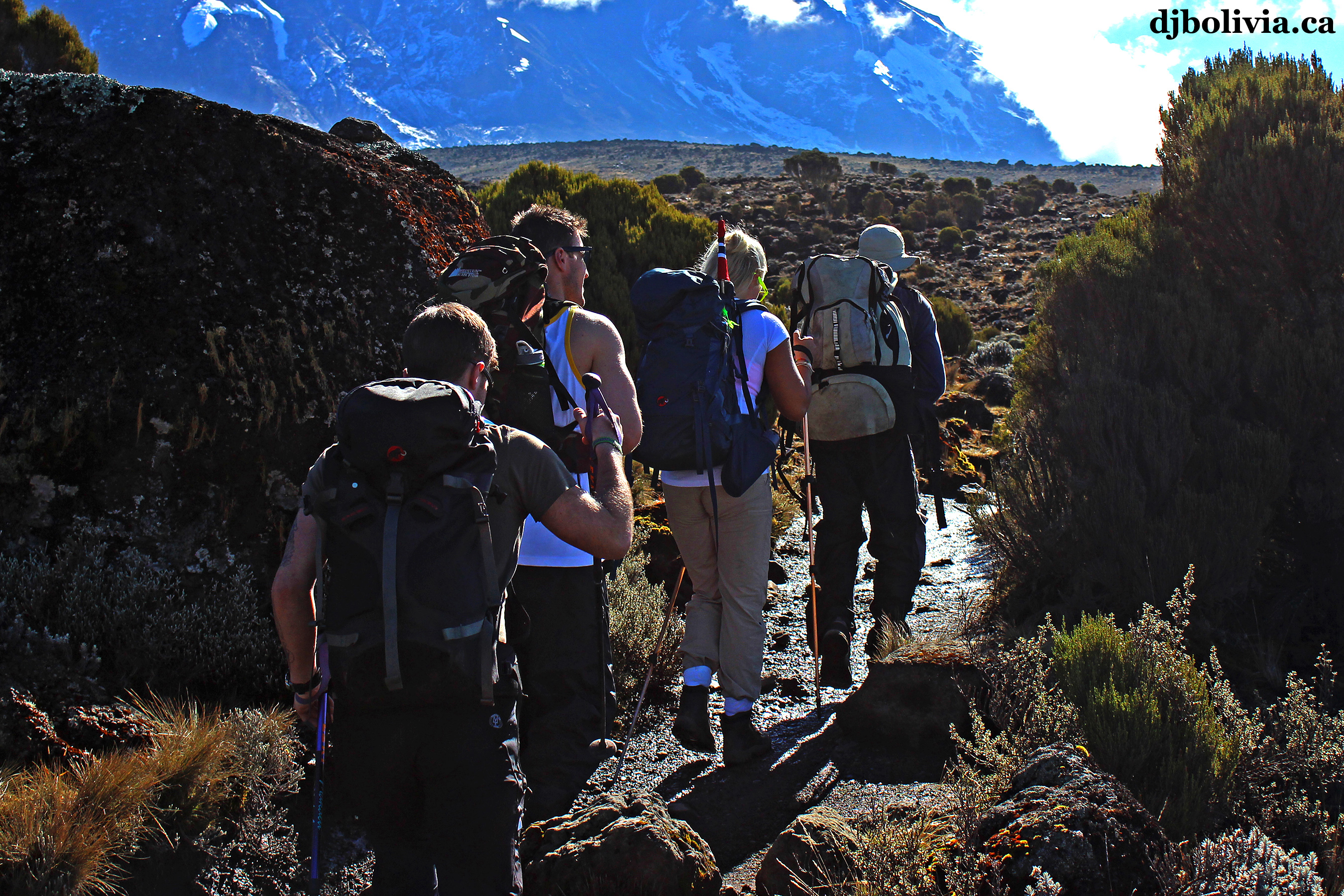 Starting the hike toward the Lava Tower.
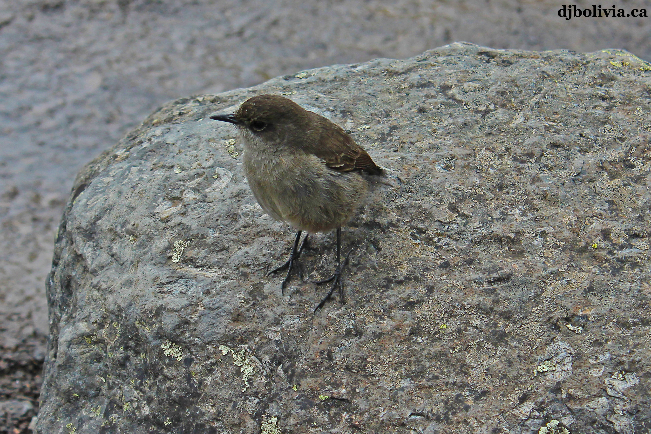 A small bird.
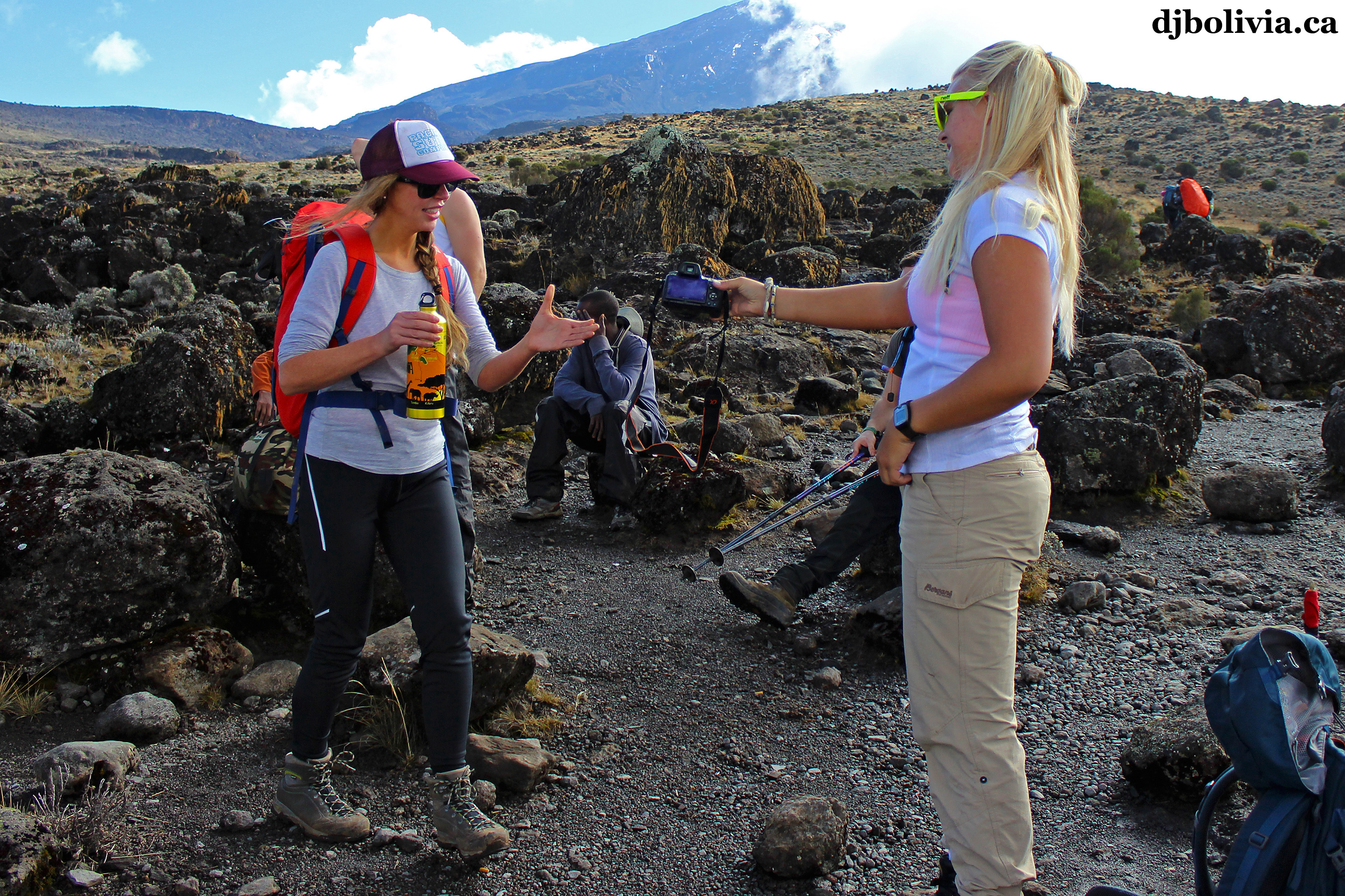 Rest break, time for a quick photo or two.
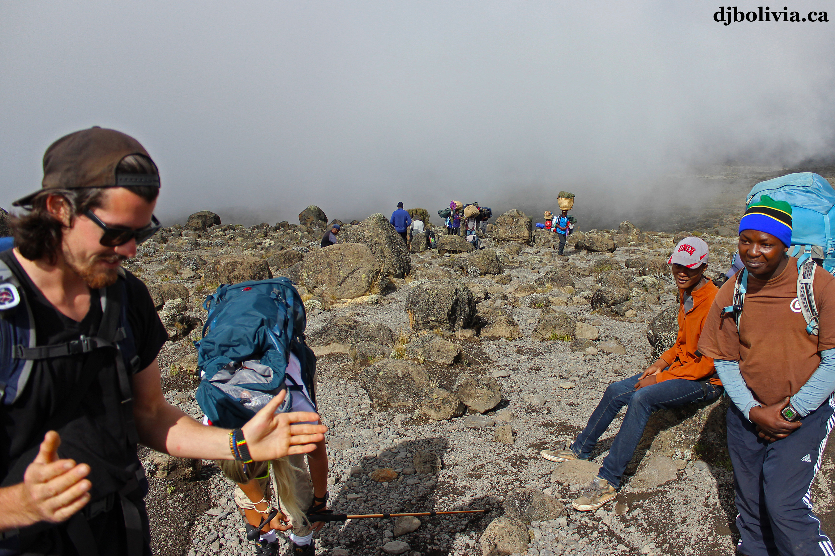 There goes Nathan, you can guess what he's talking about.
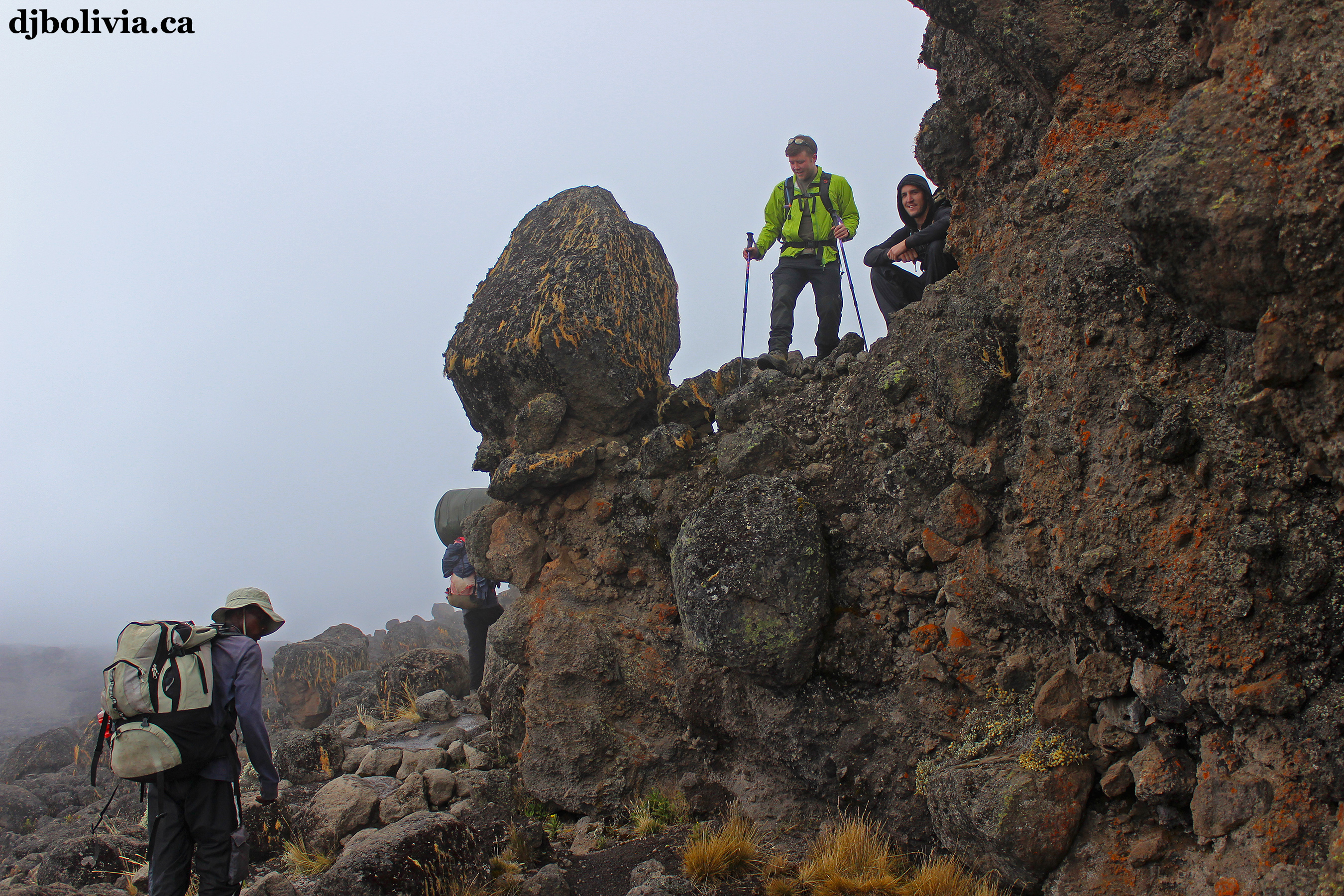 There are lots of interesting rocks along the way.
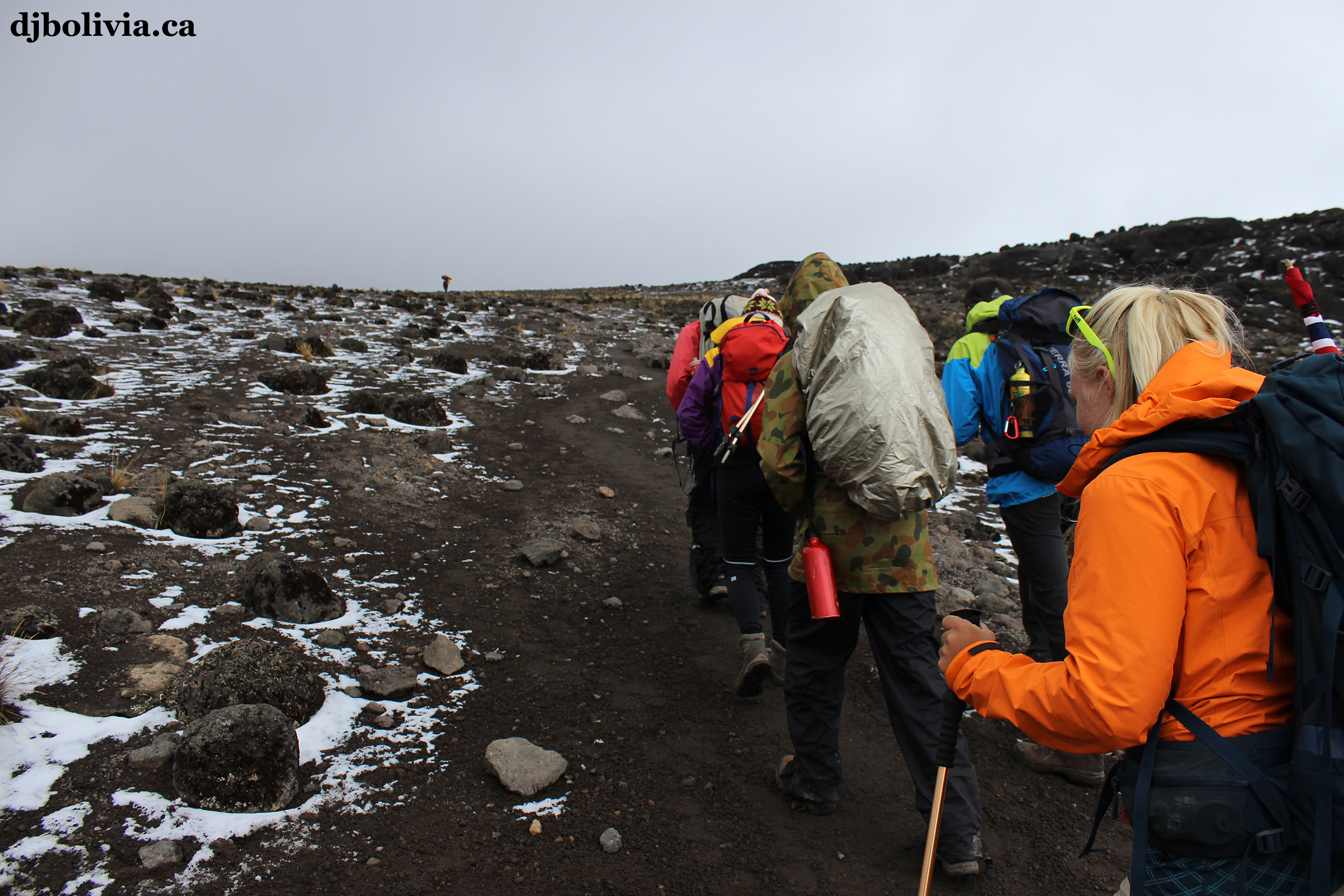 The weather is starting to get colder.
 A mountain stream bed.
 My friend Anton, waiting patiently for me to get the camera out to take a photo. I had all my cameras wrapped in large zip-lock bags, inside my coat, to protect them from the elements and constant moisture.
 Lava Tower, one of the features of the mountain that I was most curious about. It's about 300 feet higher than the slope around it. Unfortunately, because of the weather, I couldn't get any really impressive photos.
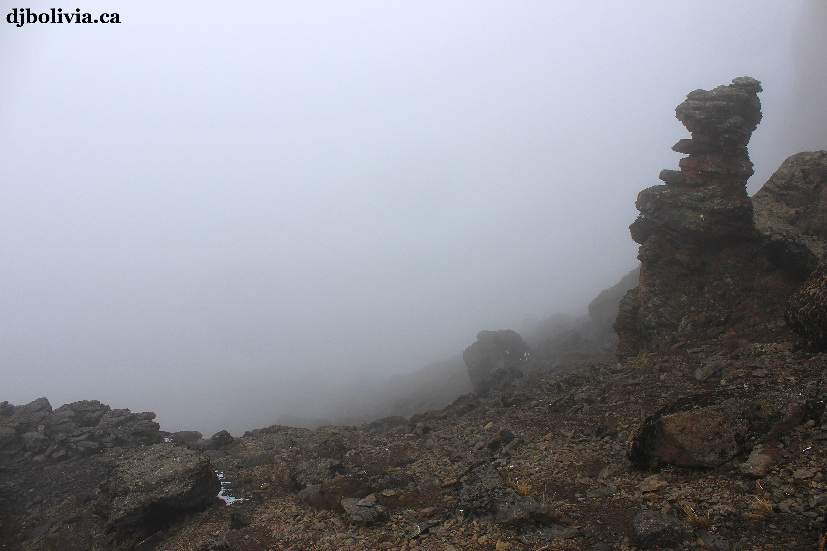 Looking down from the Lava Tower area. There be dragons. We had to descend into the fog to get to the next camp.
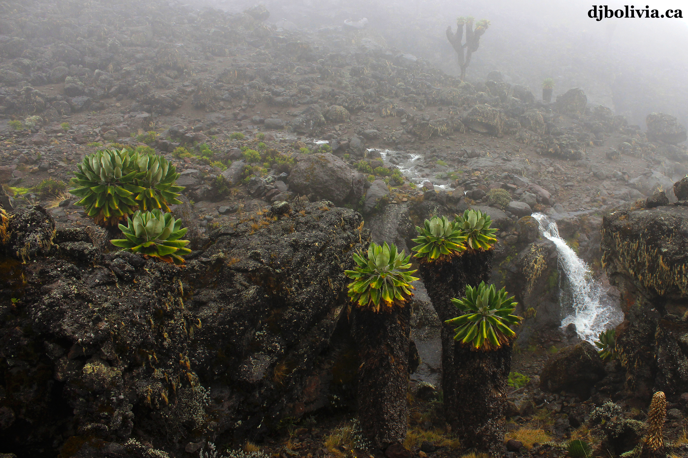 These waterfalls were about fifteen feet high.
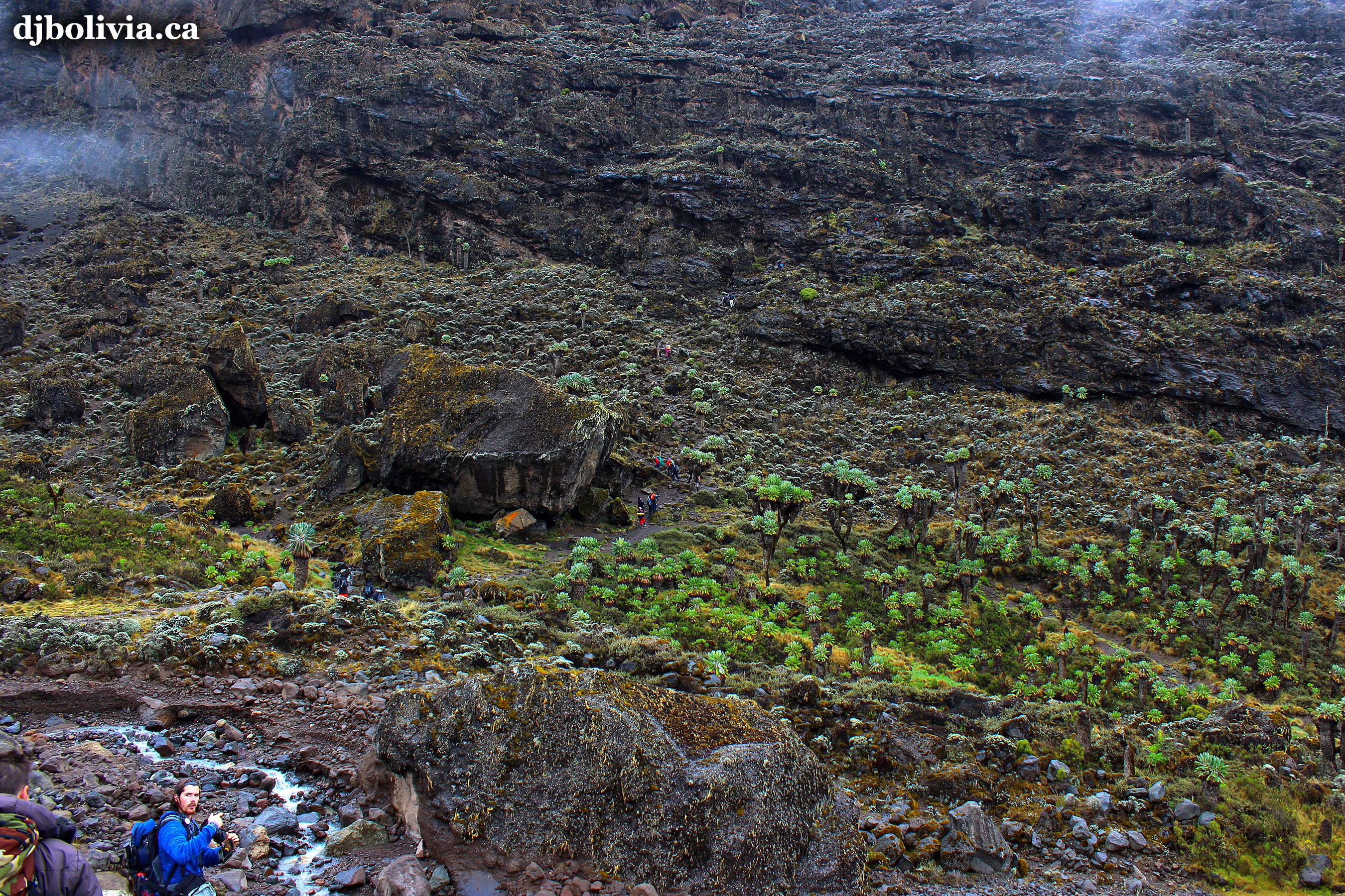 This photo was taken shortly after leaving the Barranco Camp, as we were approaching the Barranco Wall. If you look closely, you can see the bright jackets of the tiny people down below, and starting to ascend the Wall.
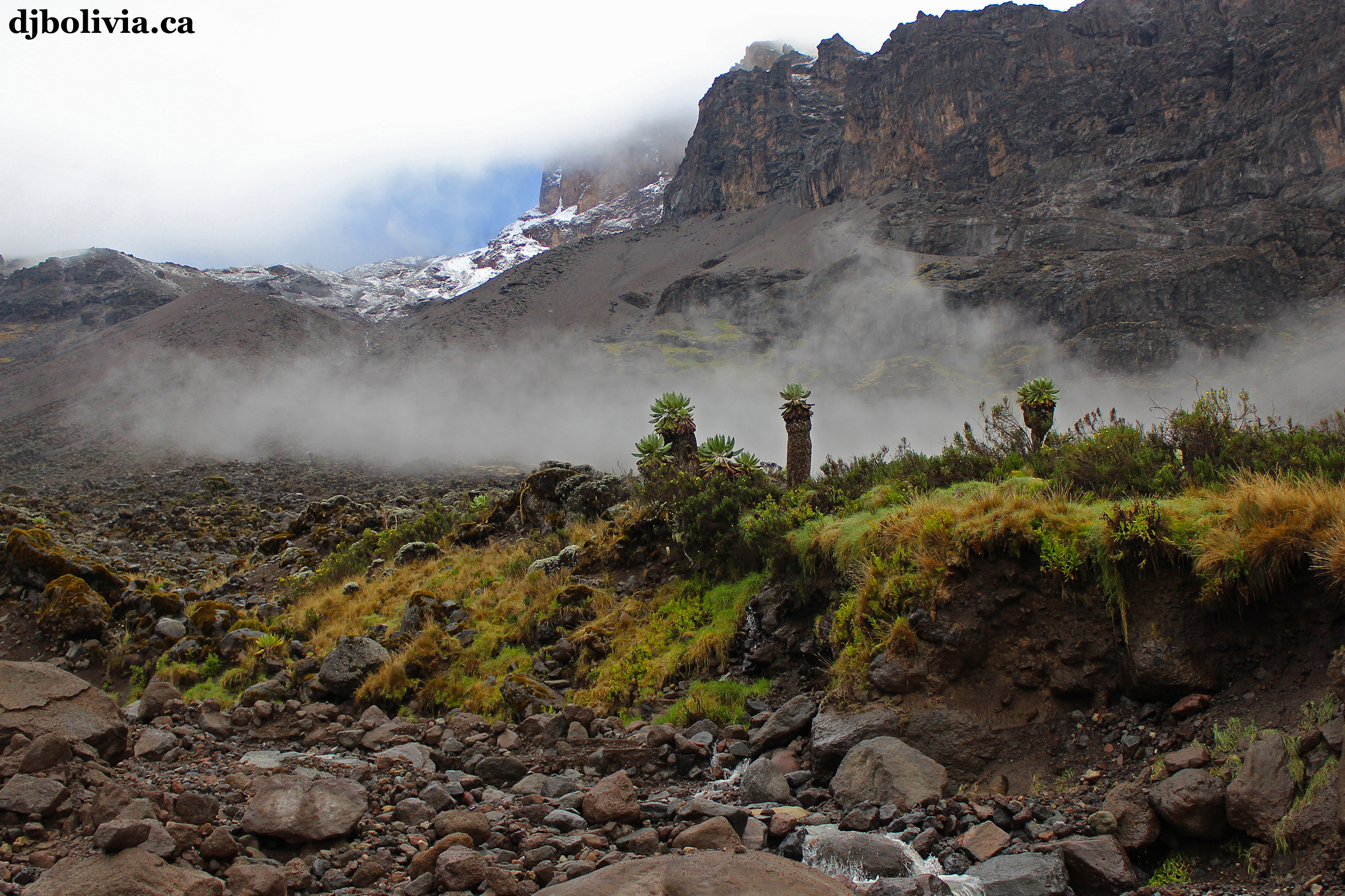 In the Barranco valley bottom.
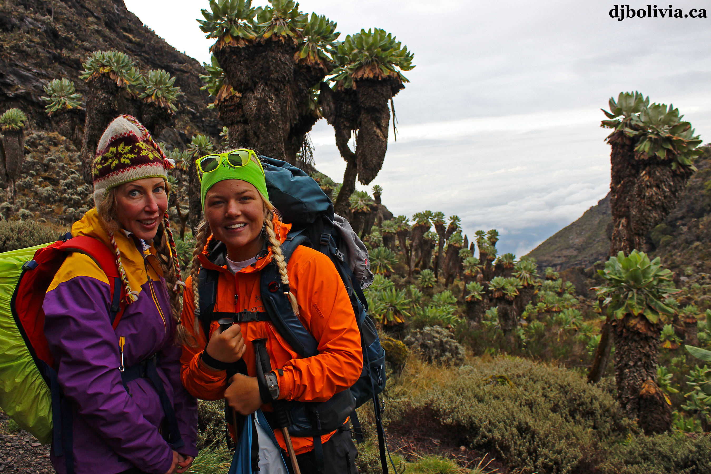 Jackie and Martine. The background looks surreal, like something out of an old Star Trek episode.
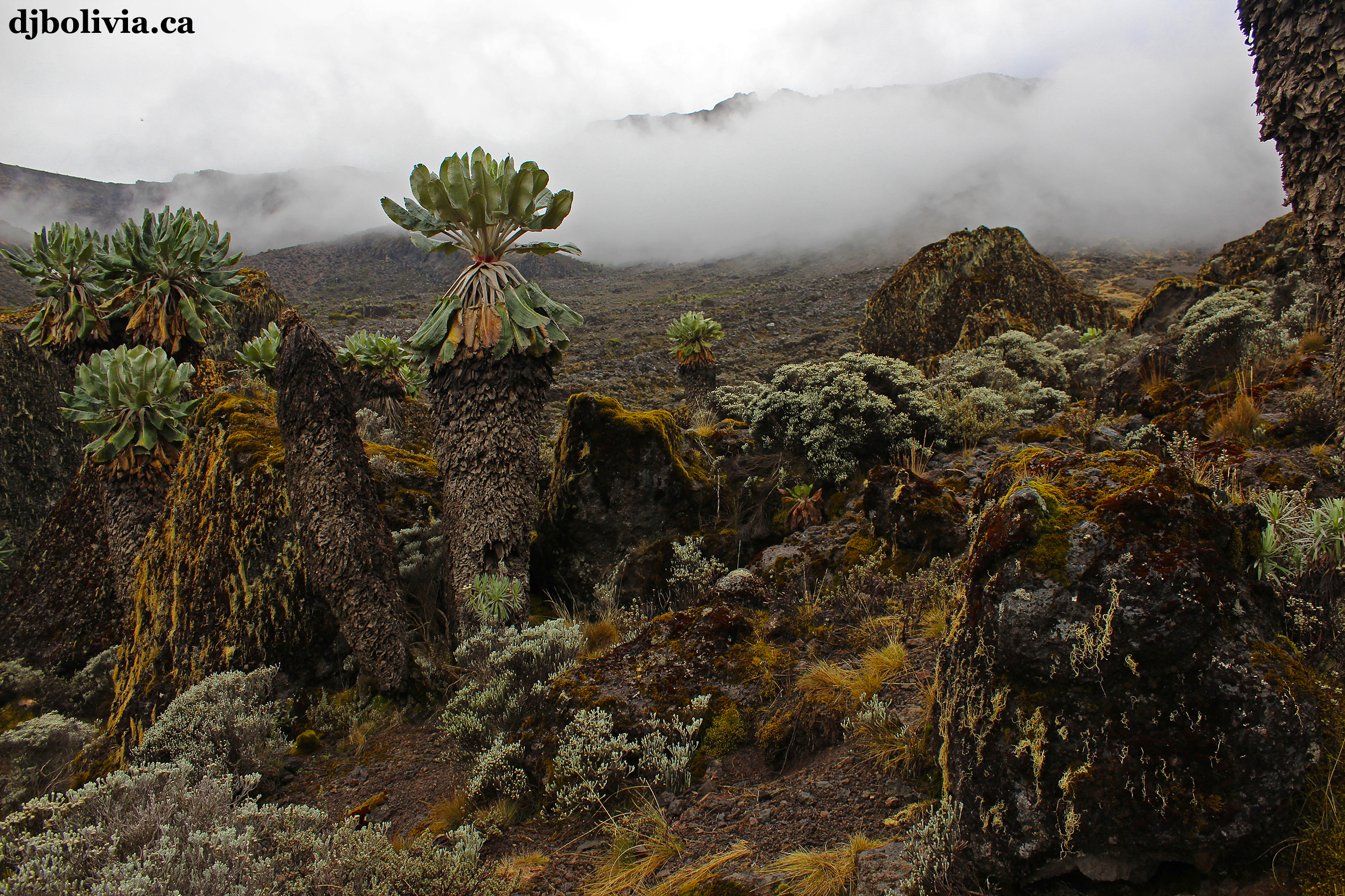 Also in the Barranco valley bottom.
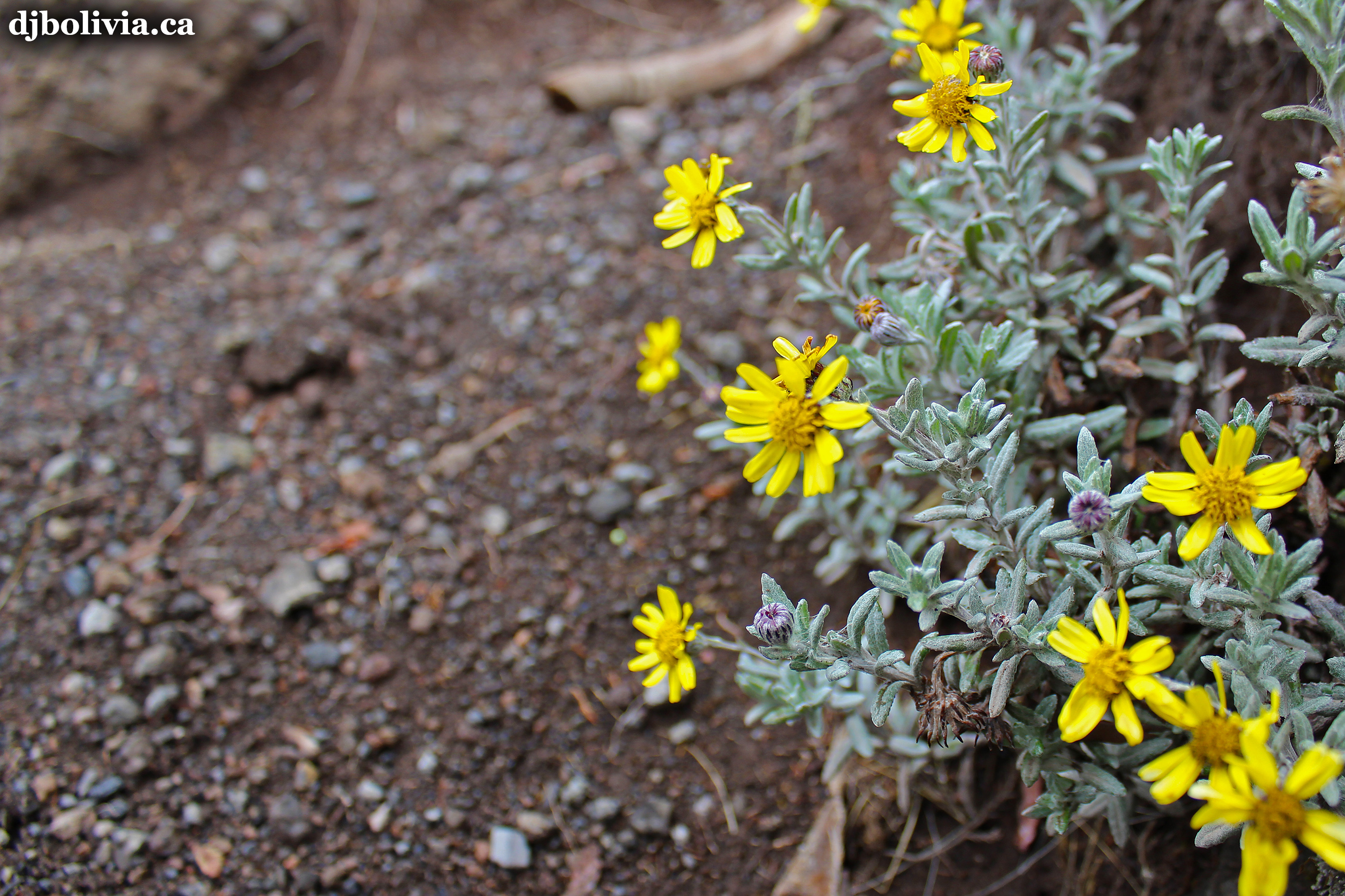 I believe that this bright yellow flower might be Helichrysum Newii, although I can't find any empirical evidence on the internet yet to back up this guess.
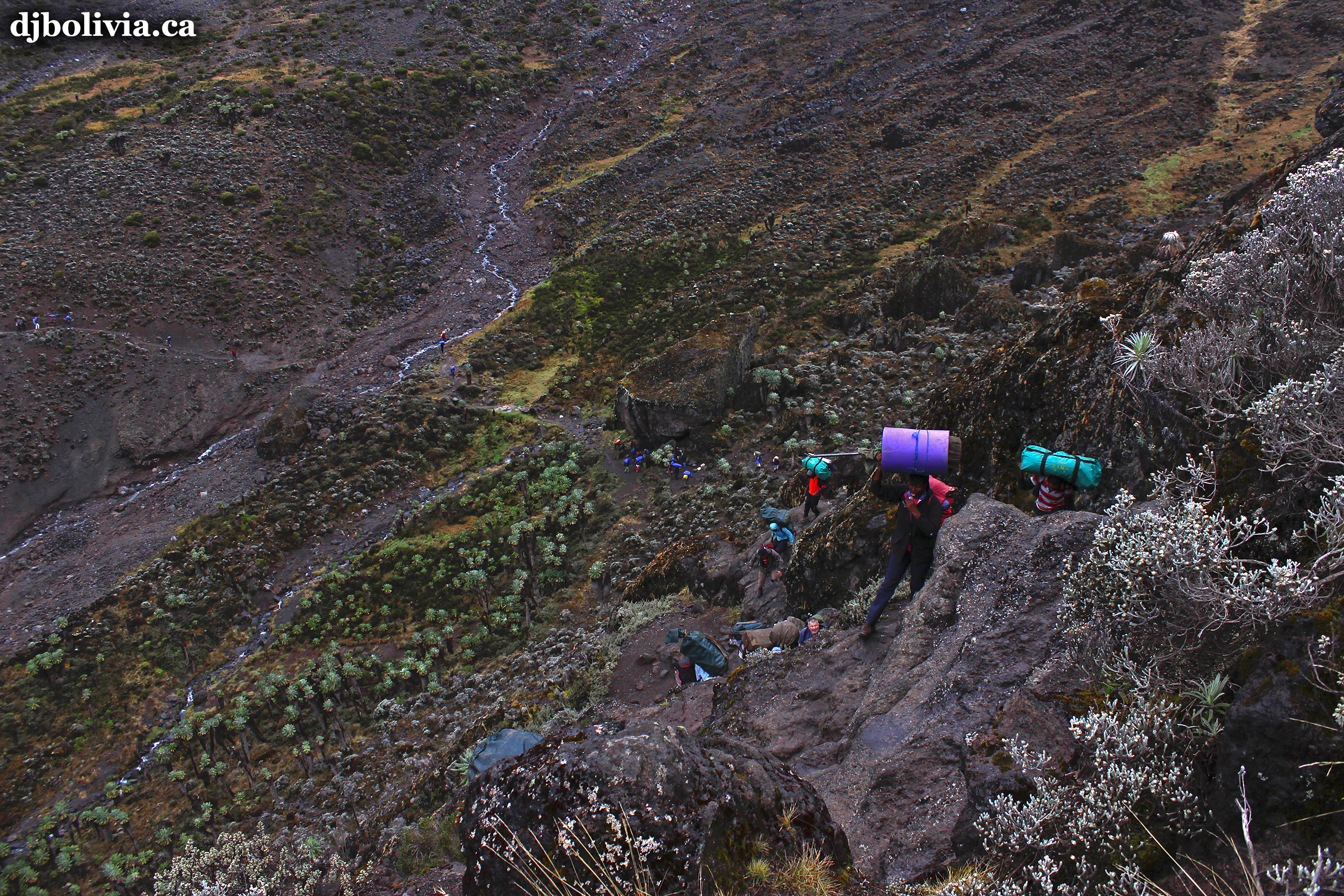 I took this photo about halfway up the Barranco Wall. This was one of my favorite parts of the climb.
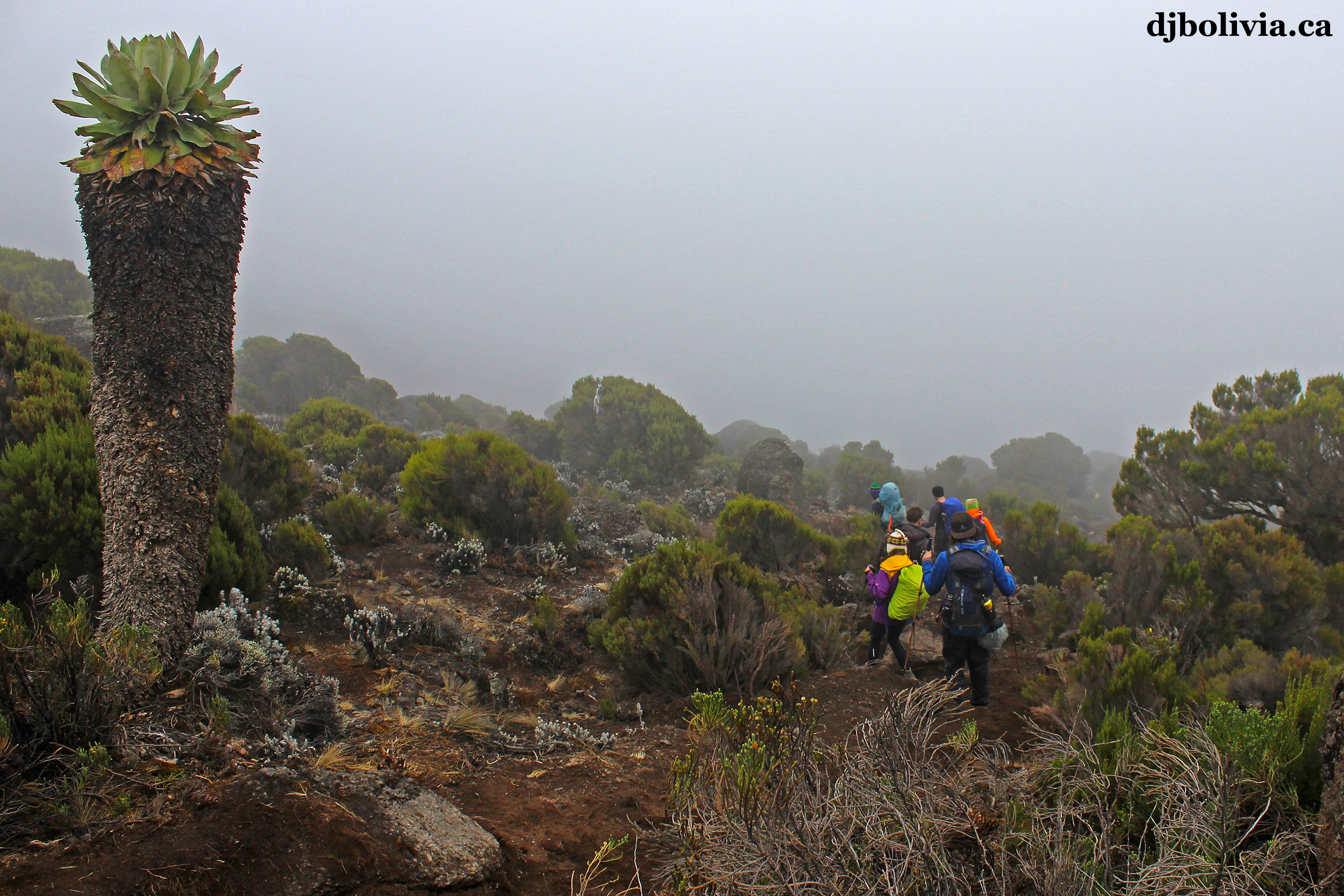 On the top of the Barranco Wall.
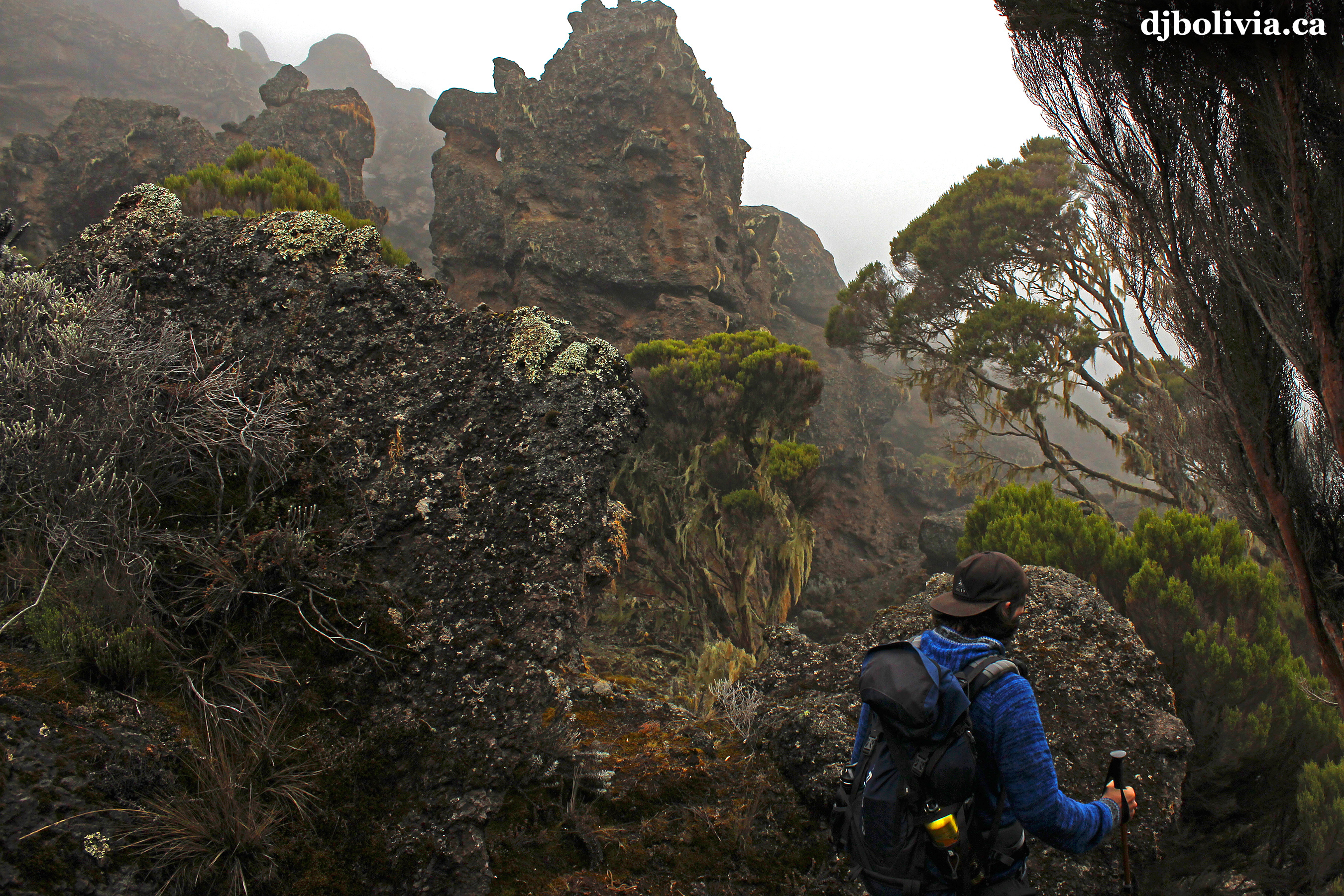 Moving onward. Our goal for the day is the Barufa Base Camp at 4550m.
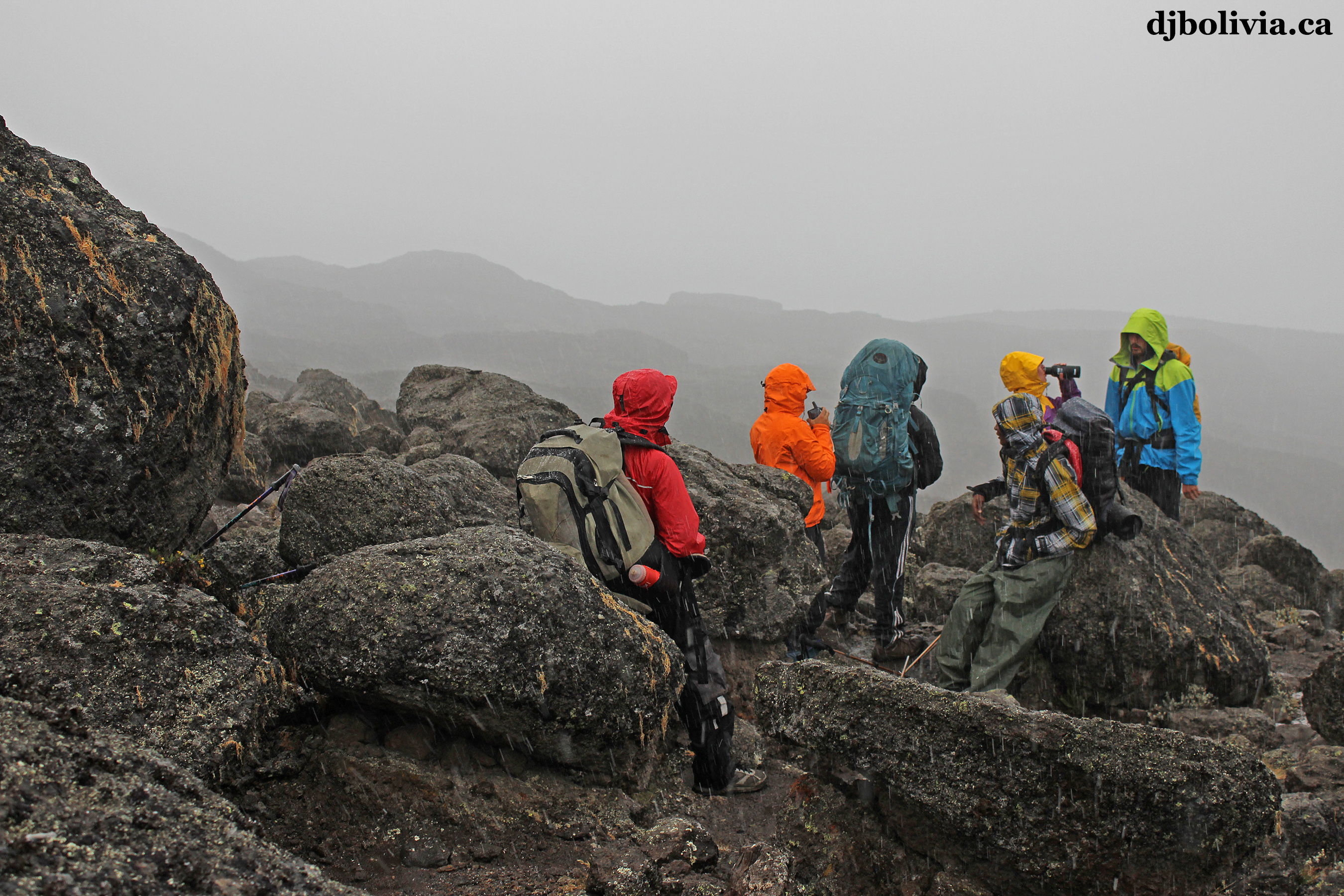 Taking a quick rest break as wet snow is starting to fall.
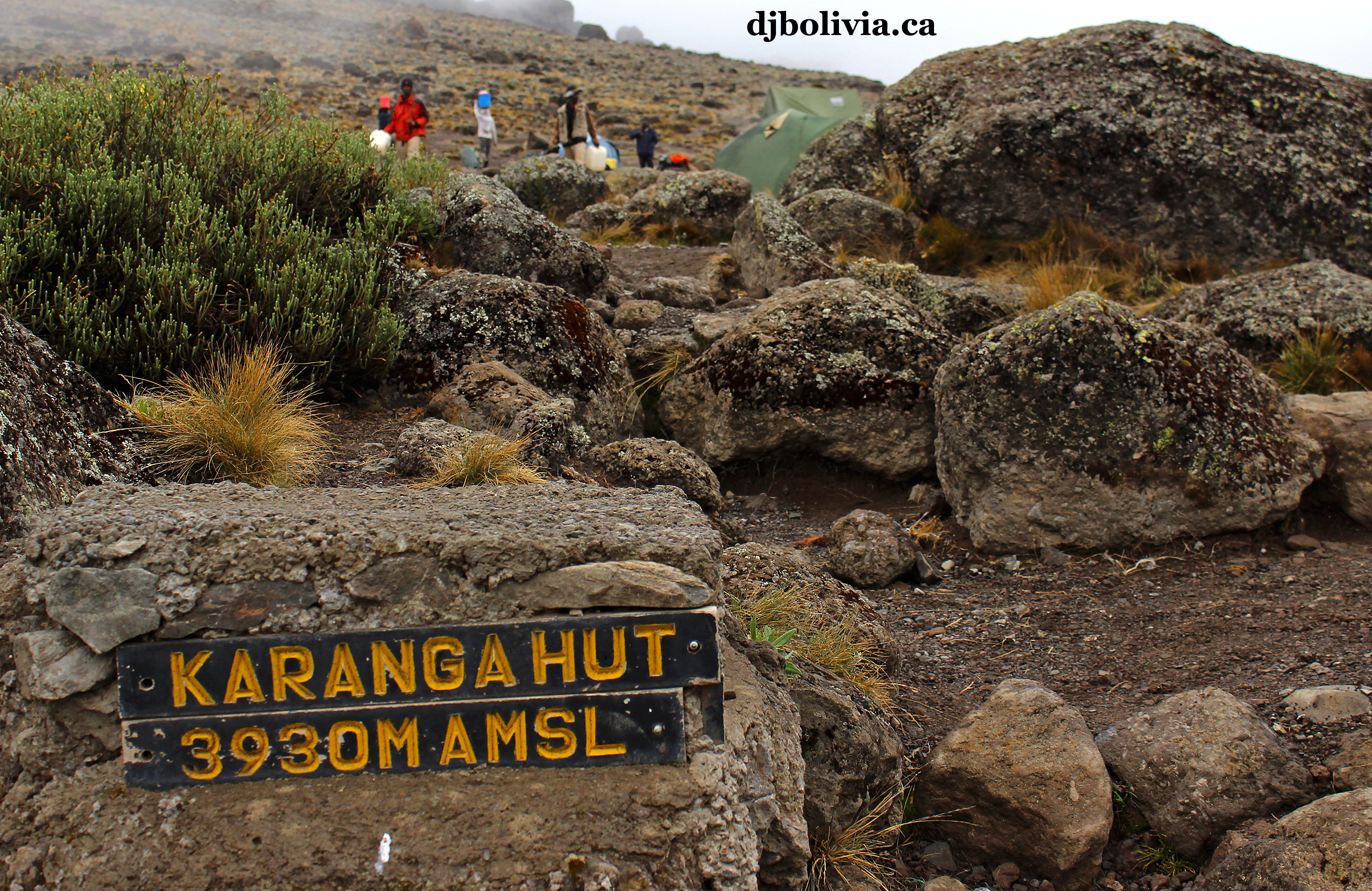 At this point we've actually dropped in altitude again, down to the Karanga Hut in the Karanga Valley. This isn't one of our camp sites, but it's where we meet with the trail on the Mweka route.
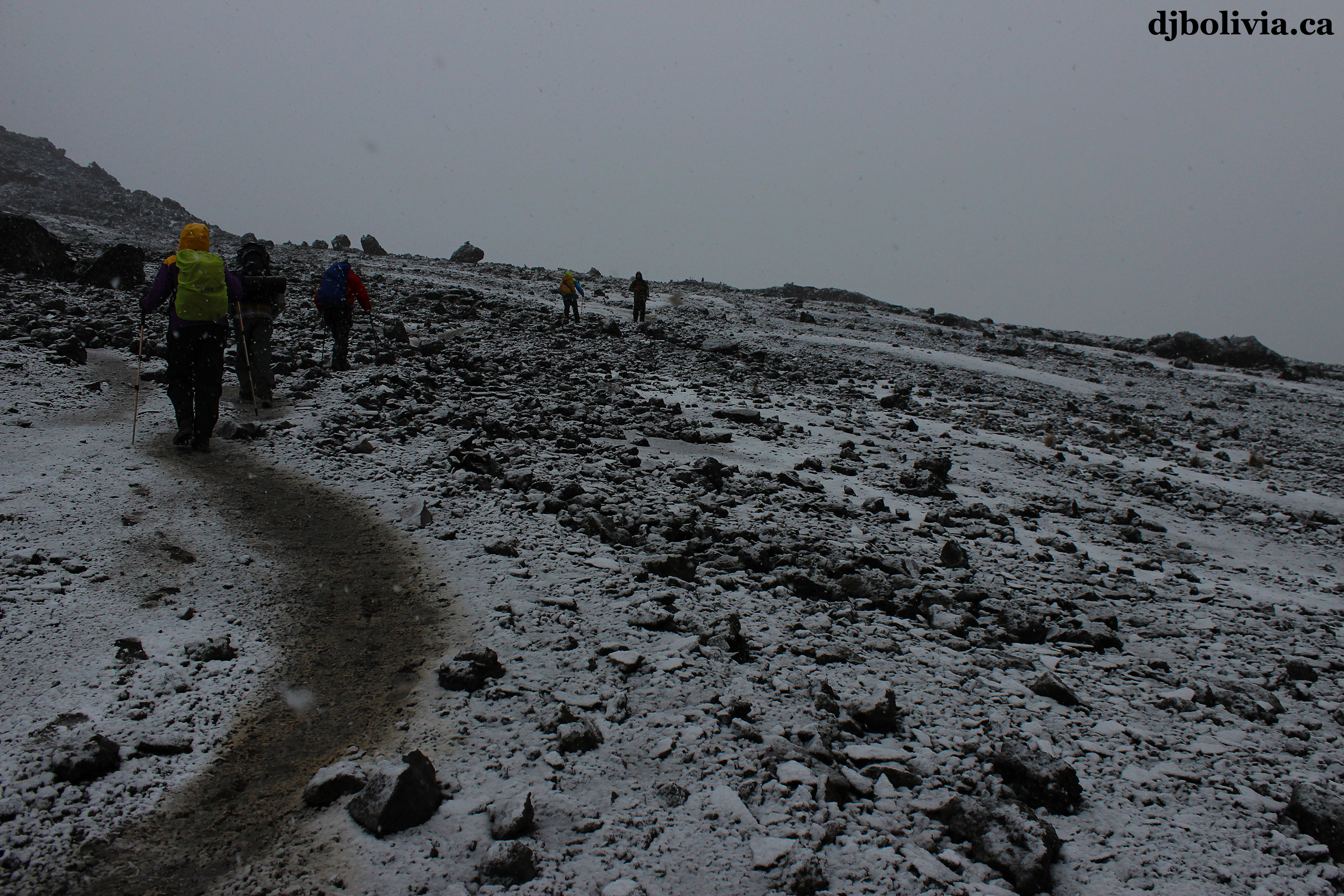 By afternoon, the weather is getting chilly.
 Continuing to move toward Barufa Camp.
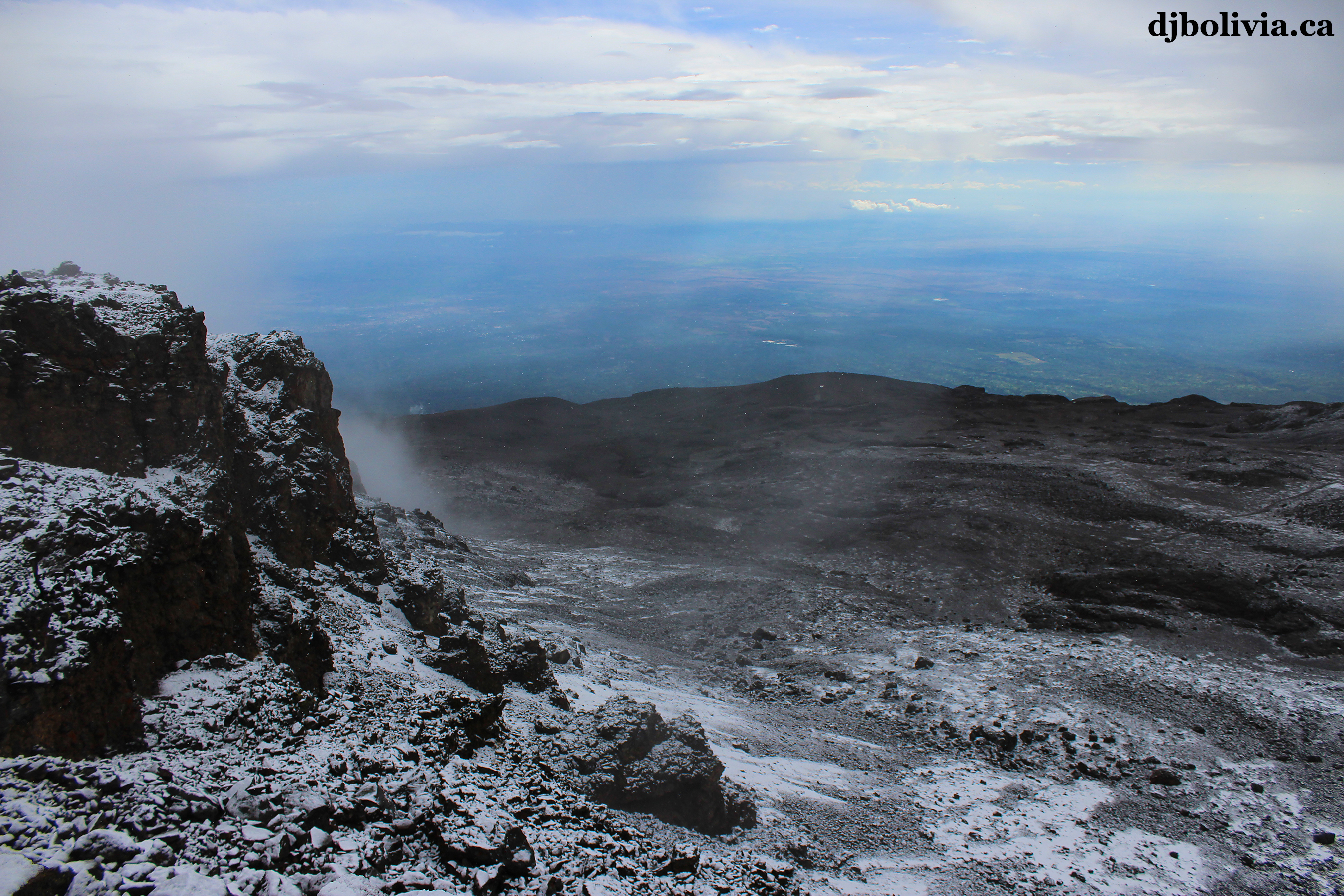 This photo was taken not far below Barufa Camp, looking backwards and down the mountain towards warm Tanzania far below us.
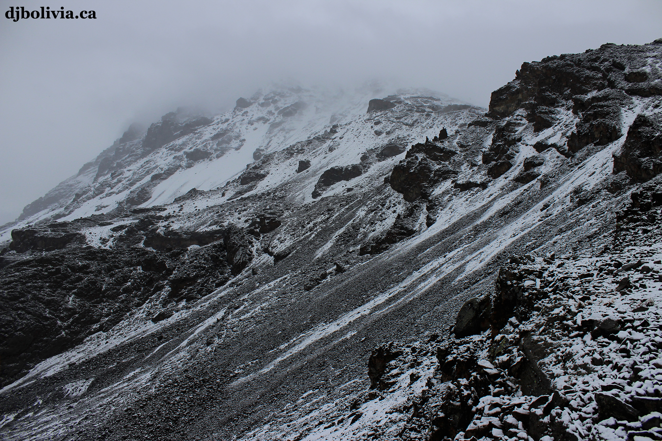 This is a photo from the Barafu base camp, looking up at what we have to look forward to on the summit attempt.
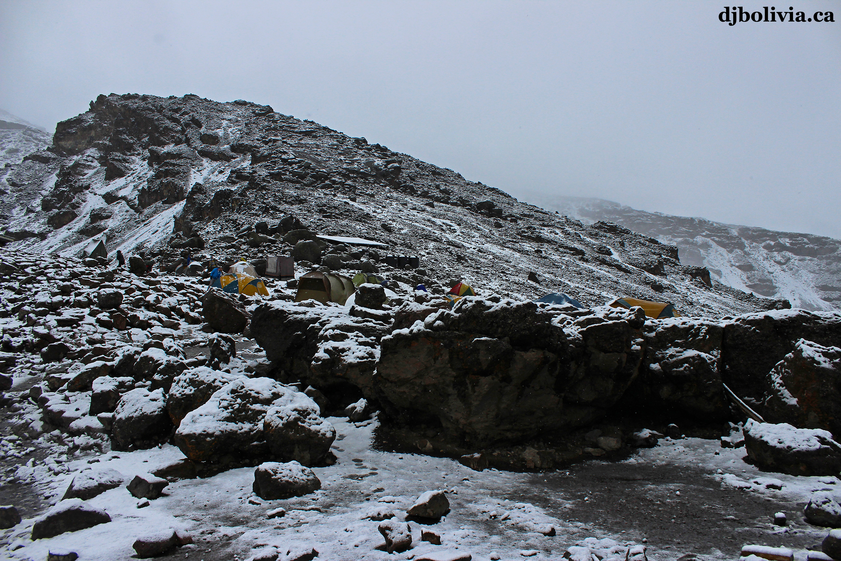 This is our camp at Barafu.
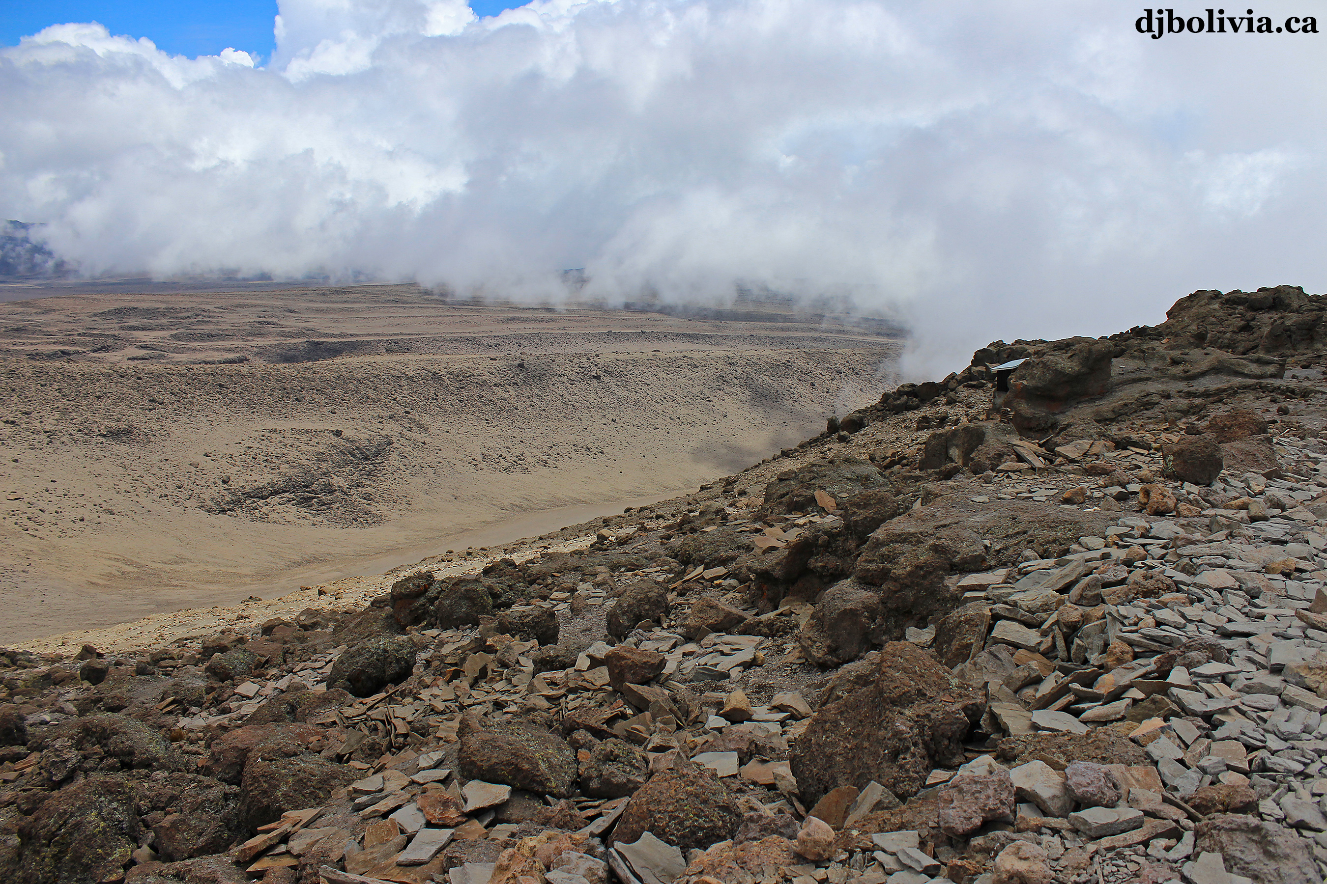 After summit night, you'll have breakfast and then sleep for a few hours, then start heading back down the mountain on the Mweka route.
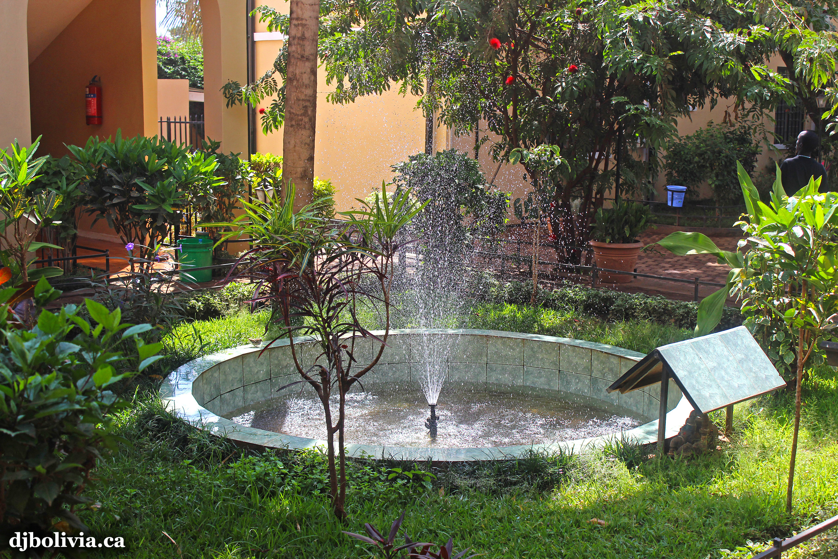 The change in conditions from the top of the mountain down to the Springlands hotel is rather significant! Now it's time to lay in the sun by the pool, and drink some cold beer.
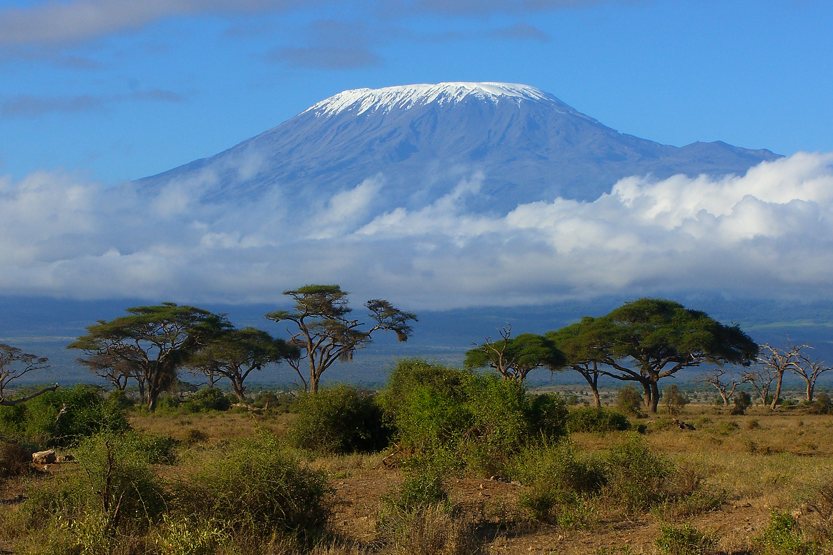 And finally, a photo of Kilimanjaro itself. Although I didn't realize it, I actually forgot to take a photo of the mountain! I found this photo on the internet, and TanzaniaTravel deserves the photo credit. I guess I'll have to go back, to get a photo of my own.